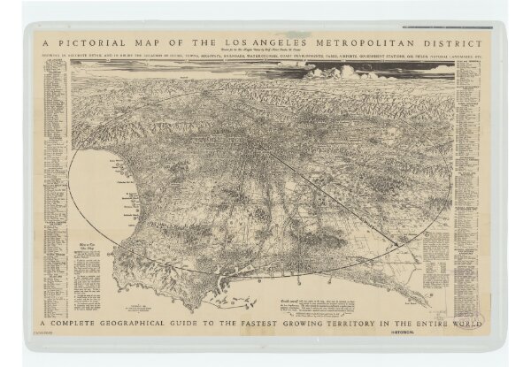
Pictorial map of the Los Angeles metropolitan district: a complete geographical guide to the fastest growing territory in the entire world / drawn for the Los Angeles times by Charles H. Owens.
ArcGIS, QGIS or web apps can simply
use this map with web map services.
WMTS, TileJSON or XYZ tiles
are provided for quick access to processed maps.
Sign in to get links.