ArcGIS, QGIS or web apps can simply use this map with web map services. WMTS, TileJSON or XYZ tiles are provided for quick access to processed maps.
Sign in to get links.
Sign in to download GeoTIFF.
Overlay & compare
iiif viewer, iiif info json
Website
11218301293
flickr2
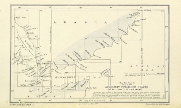
Book: [The Red Sea Pilot ... With directions for the navigation of the Suez Canal. Second edition. [Compiled by J. C. Richards.]]
1892
Hydrographic Office
154.8 × 259.4 cm