ArcGIS, QGIS or web apps can simply use this map with web map services. WMTS, TileJSON or XYZ tiles are provided for quick access to processed maps.
Sign in to get links.
Sign in to download GeoTIFF.
Overlay & compare
iiif viewer, iiif info json
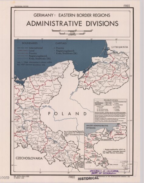
Germany, eastern border regions : administrative divisions
21198_zz002cz226
Europe
Inset: Major administrative divisions. "July 1, 1944, information is shown within the 1937 Germany boundary only." "No. 6275."
1945
United States. Office of Strategic Services. Research and Analysis Branch.
[Washington, D.C.] : R & A, OSS
27 × 33 cm
1 : 2570000