ArcGIS, QGIS or web apps can simply use this map with web map services. WMTS, TileJSON or XYZ tiles are provided for quick access to processed maps.
Sign in to get links.
Sign in to download GeoTIFF.
Overlay & compare
iiif viewer, iiif info json
Original viewer
Catalog
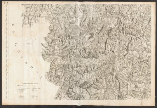
Carte du Tyrol
19214475
Atlas
West-Blatt
1801
Anich, Peter
par le Dépôt Général de la Guerre
1 : 150000