ArcGIS, QGIS or web apps can simply use this map with web map services. WMTS, TileJSON or XYZ tiles are provided for quick access to processed maps.
Sign in to get links.
Sign in to download GeoTIFF.
Overlay & compare
iiif viewer, iiif info json
Website
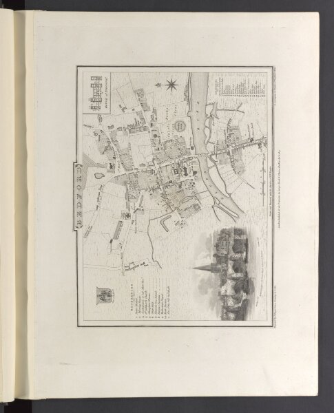
The British atlas
mapsu7utabu47u017
ktop2
1 volume
1810
printed for Vernor, Hood, and Sharpe; Longman, Hurst, Rees, and Orme; J. Harris; J. Cuthell; J. Cundee; W. Faden; J. and A. Arch; Crosby and Co.; J. Richardson; and J. M. Richardson