ArcGIS, QGIS or web apps can simply use this map with web map services. WMTS, TileJSON or XYZ tiles are provided for quick access to processed maps.
Sign in to get links.
Sign in to download GeoTIFF.
Overlay & compare
iiif viewer, iiif info json
Website
11109103176
flickr2
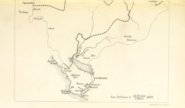
Book: The Map of Europe by Treaty, showing the various political and territorial changes which have taken place since the general peace of 1814 (91.) With numerous maps and notes
1875
HERTSLET, Edward Sir, K.C.B
148.5 × 253.9 cm