Cataloged map
Boden-See


Full title:Boden-See
Depicted:1919 - 1925
Publisher:Kartograph., früher Militärgeograph. Inst.
Physical Size:20 x 30 cm
Map scale:1:75 000
Meßtischblatt [8322] : Friedrichshafen, 1905
1905
1:250k
Meßtischblatt [8322] : Immenstaad, 1880
1880
1:250k
Meßtischblatt [8222] : Markdorf, Adelsreuthe, 1883
1883
1:250k
Meßtischblatt 174 : Oberteuringen, 1907
1877
1:250k
Boden-See
1925
Kartograph., früher Militärgeograph. Inst.
1:75k
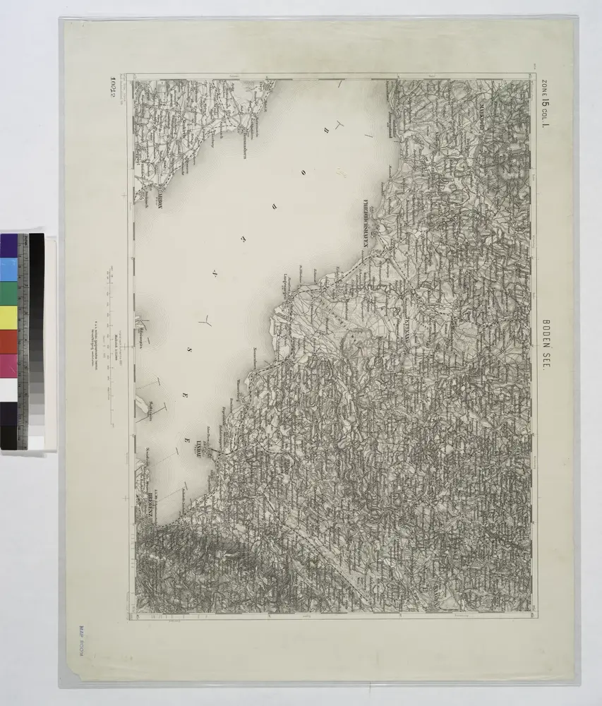
Meßtischblatt [8323] : Tettnang, 1908
1908
1:250k
Bodensee.
1914
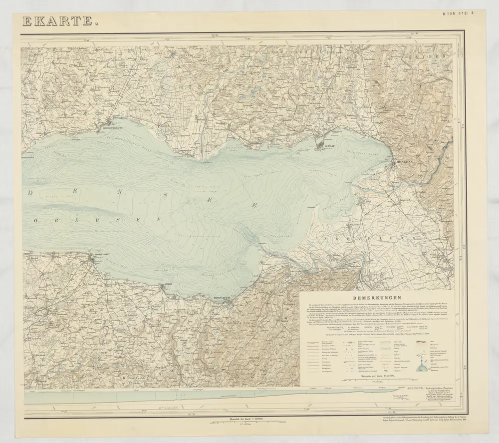
Bodenseekarte
1895
Eidgenössisches Topographisches Bureau
1:50k
Meßtischblatt [8223] : Ravensburg, 1908
1908
1:250k
Lacus Acronianus
1764
Seutter von Lötzen; Küffner; Som