编目地图
Provincia de la Mancha donde se comprehenden los partidos de Ciudad-Real, Infantes, y Alcaràz
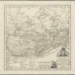
完整标题:Provincia de la Mancha donde se comprehenden los partidos de Ciudad-Real, Infantes, y Alcaràz
出版商:Madrid : [Thomas Lopez]
物理尺寸:20 x 30 cm
地图比例尺:1:500 000