Maps of Amador County

Peddler Hill
1 : 24000
Peddler Hill
1 : 24000
Peddler Hill
1 : 24000
Peddler Hill
1 : 24000
Leek Spring Hill
1 : 62500
Leek Spring Hill
1 : 62500
Leek Spring Hill
1 : 62500
Pyramid Peak
1 : 125000
Pyramid Peak
1 : 125000
Pyramid Peak
1 : 125000
Pyramid Peak
1 : 125000
Pyramid Peak
1 : 125000
Pyramid Peak
1 : 125000
Pyramid Peak
1 : 125000
Pyramid Peak
1 : 125000
Pyramid Peak
1 : 125000
Pyramid Peak
1 : 125000
Pyramid Peak
1 : 125000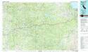
Placerville
1 : 100000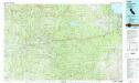
Placerville
1 : 100000
56B. Parts Of Eastern California And Western Nevada.
1 : 253440 Wheeler, G.M.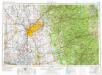
Sacramento
1 : 250000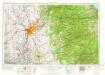
Sacramento
1 : 250000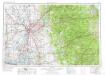
Sacramento
1 : 250000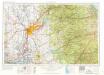
Sacramento
1 : 250000
Sacramento
1 : 250000
Sacramento
1 : 250000
Sacramento
1 : 250000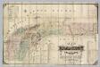
Nevada County, California.
1 : 79200 Hartwell, J.G.

