Mappa catalogata
Yosemite


Titolo completo:Yosemite
Anno di illustrazione:1909
Data di pubblicazione:1923
Dimensione fisica:20 x 30 cm
Scala della mappa:1:125 000
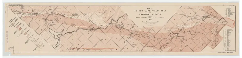
Map of Mother Lode Gold Belt in Mariposa County Showing Mining Claims and Areal Geology; Plate X
1934
Logan, C. A. (Clarence August), 1887-
1:63k
Yosemite
1909
1:125k
Yosemite
1909
1:125k
Yosemite
1909
1:125k
Yosemite
1909
1:125k
Yosemite
1909
1:125k
Yosemite
1909
1:125k
Yosemite
1909
1:125k
Yosemite
1909
1:125k
Yosemite
1903
1:125k
Yosemite
1900
1:125k
Yosemite
1897
1:125k