Maps of San Andreas

San Andreas
1 : 62500
San Andreas
1 : 62500
San Andreas
1 : 62500
Salt Spring Valley
1 : 24000
Salt Spring Valley
1 : 24000
Angels Camp
1 : 24000
Angels Camp
1 : 24000
Angels Camp
1 : 24000
Angels Camp
1 : 24000
San Andreas
1 : 24000
San Andreas
1 : 24000
San Andreas
1 : 24000
Calaveritas
1 : 24000
Calaveritas
1 : 24000
Calaveritas
1 : 24000
Jackson
1 : 125000
Jackson
1 : 125000
Jackson
1 : 125000
Jackson
1 : 125000
Jackson
1 : 125000
Jackson
1 : 125000
Jackson
1 : 125000
Jackson
1 : 125000
Jackson
1 : 125000
Jackson
1 : 125000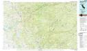
San Andreas
1 : 100000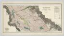
Sheet No. 2, North-central Portion, Irrigation Map of the San Joaquin Valley, California.
1 : 190000 California State Engineering Department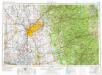
Sacramento
1 : 250000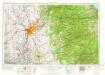
Sacramento
1 : 250000
Sacramento
1 : 250000
Sacramento
1 : 250000
Sacramento
1 : 250000
Sacramento
1 : 250000

