Mappa catalogata
Mount Vernon


Titolo completo:Mount Vernon
Anno di illustrazione:1966
Data di pubblicazione:1977
Dimensione fisica:20 x 30 cm
Scala della mappa:1:24 000
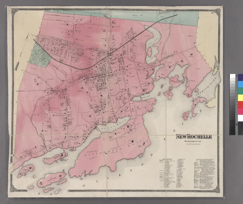
Plate 38: New Rochelle, Westchester Co. N.Y.
1868
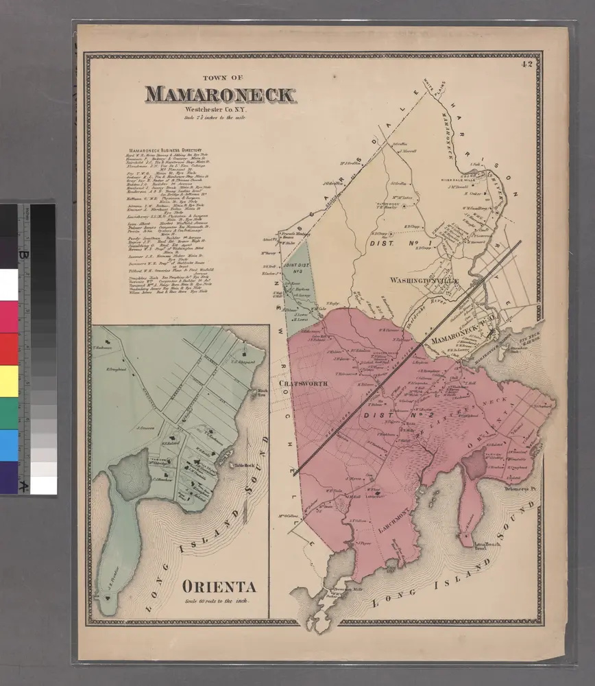
Plate 42: Town of Mamaroneck, Westchester Co. N.Y. - Orienta.
1868
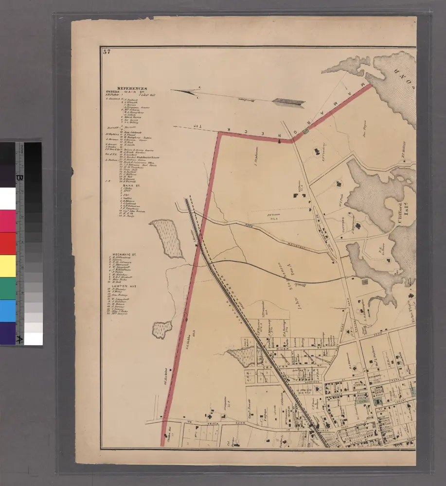
Plates 57 & 58: Part of New Rochelle, Westchester Co. N.Y.
1872
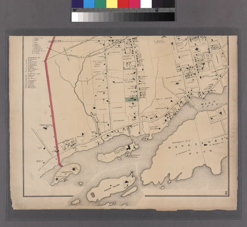
Plate 55 & 56: Part of New Rochelle, Westchester Co. N.Y.
1872
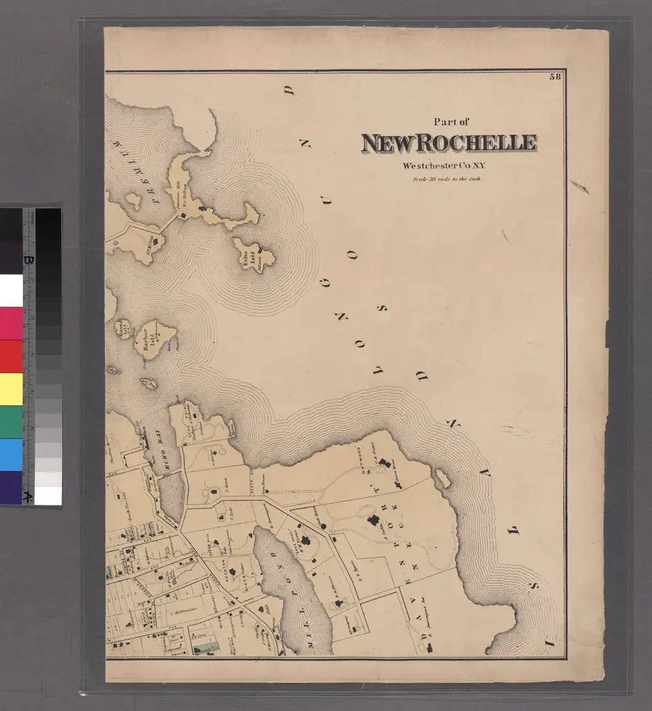
Plates 57 & 58: Part of New Rochelle, Westchester Co. N.Y.
1872
Mount Vernon
1995
1:24k
Mount Vernon
1966
1:24k
Mount Vernon
1966
1:24k
Mount Vernon
1966
1:24k
Mount Vernon
1966
1:24k
Mount Vernon
1956
1:24k
Mount Vernon
1956
1:24k
Mt Vernon
1947
1:24k