Maps of Richland County

Hopkins
1 : 62500
Hopkins
1 : 62500
Hopkins
1 : 62500
Gadsden
1 : 24000
Saylors Lake
1 : 24000
Saylors Lake
1 : 24000
Gadsden
1 : 24000
Gadsden
1 : 24000
Gadsden
1 : 24000
Saylors Lake
1 : 24000
Gadsden
1 : 24000
Fort Jackson South
1 : 24000
Fort Jackson South
1 : 24000
Fort Jackson South
1 : 24000
Congaree
1 : 24000
Congaree
1 : 24000
Congaree
1 : 24000
Fort Jackson South
1 : 24000
Congaree
1 : 24000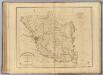
Richland District, South Carolina.
1 : 126720 Mills, Robert
Sumter
1 : 100000
Sumter
1 : 100000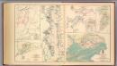
Petersburg environs; Bentonville; Carolinas; Spanish Fort.
United States. War Department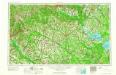
Augusta
1 : 250000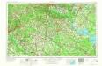
Augusta
1 : 250000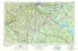
Augusta
1 : 250000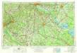
Augusta
1 : 250000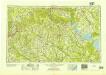
Augusta
1 : 250000
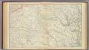
Map Of South Carolina (northwest portion)
1 : 380160 Wilson, John