Maps of Secaucus

Maps of Secaucus

$title$

Weehawken

1 : 24000
$title$

Weehawken

1 : 24000
$title$

Weehawken

1 : 24000
$title$

Weehawken

1 : 24000
$title$

Weehawken

1 : 25000
$title$

Weehawken

1 : 25000
$title$

Weehawken

1 : 31680
$title$

Weehawken

1 : 31680
$title$

Weehawken

1 : 24000
$title$

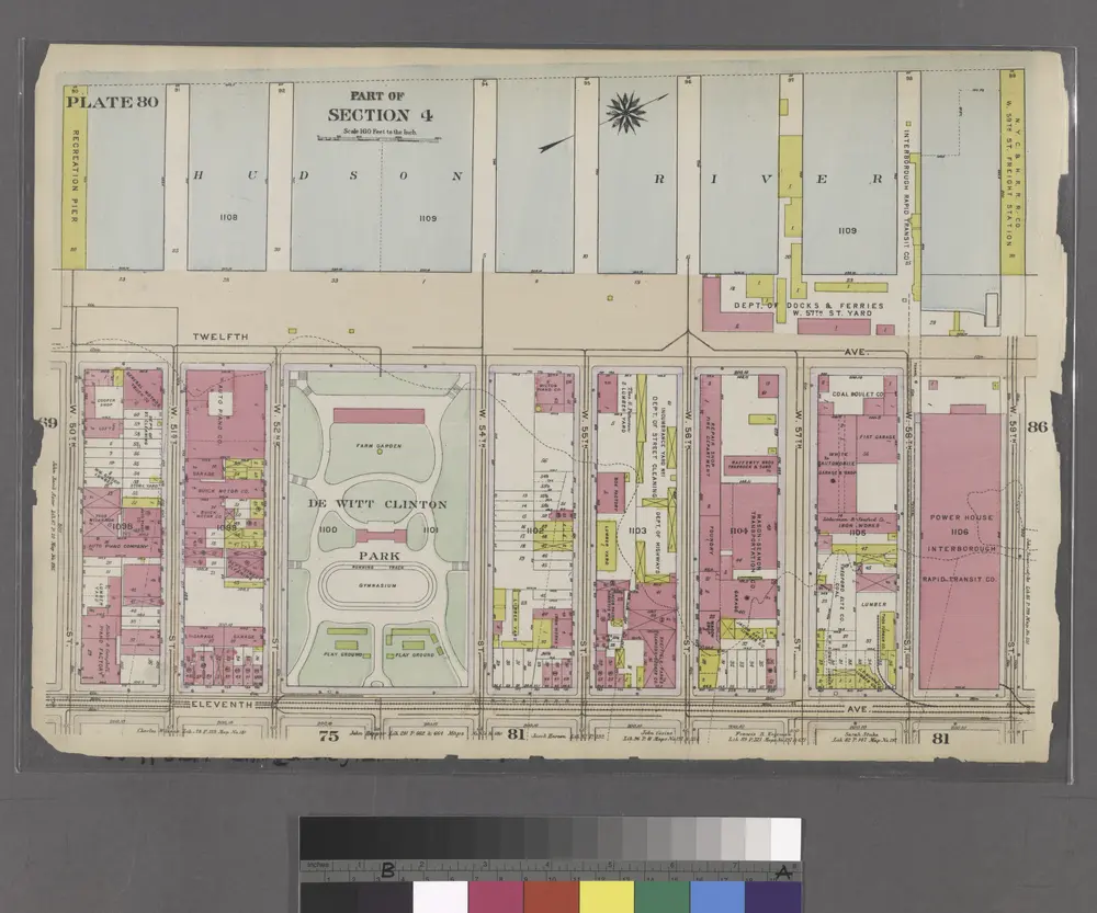
Part of Section 4 : Plate 80.

from Atlas of the borough of Manhattan, city of New York.
$title$

Bergen County, V. 1, Double Page Plate No. 12 [Map bounded by Hackensack River, Hackensack Ave., Township of Teaneck, Overpeck Creek] / by George W. and Walter S. Bromley.

From V. 1, 1912.
$title$

8A - N.Y. City (Aerial Set).

from Sectional aerial maps of the City of New York / [photographed and assembled under the direction of the chief engineer, July 1st, 1924].
$title$

Plan of Weehawken Township.

1 : 9600 Hopkins, G.M.
$title$

Plan of Weehawken township.

from Combined atlas of the State of New Jersey and the County of Hudson : from actual survey, official records & private plans / by and under the direction of G. M. Hopkins ...
$title$

Hudson County, V. 8, Double Page Plate No. 5 [Map bounded by Kerrigan Ave., Oak St., West St., Charles St.] / surveyed and published by Chas. B. Brush. Vol. 8.

From Insurance maps of Hudson County, New Jersey
$title$

Hudson County, V. 8, Double Page Plate No. 2 [Map bounded by Summit Ave., Courtland St., Spring St., Paterson Plank Rd.] / surveyed and published by Chas. B. Brush. Vol. 8.

From Insurance maps of Hudson County, New Jersey
$title$

Hudson County, V. 8, Double Page Plate No. 3 [Map bounded by Kerrigan Ave., Charles St., Courtland St., Bergen Wood] / surveyed and published by Chas. B. Brush. Vol. 8.

From Insurance maps of Hudson County, New Jersey
$title$

Hudson County, V. 8, Double Page Plate No. 6 [Map bounded by West St., Oak St., Palisade Ave., Charles St.] / surveyed and published by Chas. B. Brush. Vol. 8.

From Insurance maps of Hudson County, New Jersey
$title$

Jersey City, V. 1, Double Page Plate No. 32 [Map bounded by Secaucus Rd., Nelson Ave., Thorne St., Pen Horn Creek] / compiled under the direction of and published by G.M. Hopkins Co.

From V. 1
$title$

City of Paterson. Part of the 1st Ward

from Atlas of Passaic County, New-Jersey : topographical, geological, historical, illustrated ; from actual surveys of each township and village / under the supervision of the publishers, assisted by the able engineers of Paterson.
$title$

Hoboken - Plate E.

Hopkins, G.M.
$title$

[Map bounded by Pier - Line, W. 36th St, Eleventh Avenue, W. 28th St; Including Twelfth Avenue, W. 29th St, W. 30th St, W. 31st St, W. 32nd St, W. 33th St, W. 34th St, W. 35th St]

from Maps of the wharves & piers from the Battery to 61st street on the Hudson river and from the Battery to 41st street on the East river, New York. Surveyed by I.C. Buckhout, city surveyor.
$title$

Plate 90: Map bounded by West 32nd Street, Tenth Avenue, West 27th Street, Hudson River

from Maps of the city of New York.
$title$

[Plate 92: Map bounded by West 32nd Street, Tenth Avenue, West 27th Street, Eleventh Avenue.]

from Maps of the city of New York / surveyed under directions of insurance companies of said city.
$title$

Plate 17, Part of Section 3: [Bounded by (Hudson River Docks) Thirteenth Avenue, W. 32nd Street, Eleventh Avenue and W. 23rd Street.]

from Atlas of the city of New York, borough of Manhattan. From actual surveys and official plans / by George W. and Walter S. Bromley.
$title$

Plate 18, Part of Sections 3&4: [Bounded by (Hudson River Piers)Twelfth Avenue, W. 41st Street, Eleventh Avenue and W. 34th Street.]

from Atlas of the city of New York, borough of Manhattan. From actual surveys and official plans / by George W. and Walter S. Bromley.
$title$

Plate 17, Part of Section 3: [Bounded by W. 32nd Street, Eleventh Avenue, W. 23rd Street and (Hudson River Piers) Thirteenth Avenue.]

from Atlas of the city of New York, borough of Manhattan. From actual surveys and official plans / by George W. and Walter S. Bromley.
$title$

Plate 18, Part of Sections 3&4: [Bounded by (Hudson River Piers)Twelfth Avenue, W. 41st Street, Eleventh Avenue and W. 34th Street.

from Atlas of the city of New York, borough of Manhattan. From actual surveys and official plans / by George W. and Walter S. Bromley.
$title$

Plate 17, Part of Section 3: [Bounded by W. 32nd Street, Eleventh Avenue, W. 23rd Street and (Hudson River Piers) Thirteenth Avenue.]

from Atlas of the city of New York, borough of Manhattan. From actual surveys and official plans / by George W. and Walter S. Bromley.
$title$

[Plate 52: Bounded by Hudson River [Piers 63-72], W. 32nd Street, Eleventh Avenue and 32nd Street.]

from Atlas of the borough of Manhattan, city of New York.
© MapTiler © OpenStreetMap contributors
How does it work?
These instructions will show you how to find historical maps online.
Getting started
Type the place name in the search box to find the exact location. You can further adjust the search by zooming in and out.
Zoom
Zoom in and out with the buttons or use your mouse or touchpad natively.
Exact Area tool
Click here and draw a rectangle over the map to precisely define the search area.
Set filters
Narrow your search with advanced settings, such as Years (from/to), Fulltext, Publisher, etc.
Results
See the results of your search on the right side. You can scroll down to find more maps of this location.
?

Download OldMapsOnline Mobile