Maps of Prince George County

Disputanta South
1 : 24000
Disputanta South
1 : 24000
Disputanta South
1 : 24000
Disputanta South
1 : 24000
Nebletts Mills
1 : 25000
Nebletts Mill
1 : 31680
Disputanta
1 : 62500
Disputanta
1 : 62500
Disputanta
1 : 62500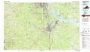
Petersburg
1 : 100000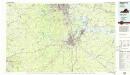
Petersburg
1 : 100000
Region embraced in the Operations of the Armies against Richmond and Petersburg.
1 : 80000 United States. War Dept. Engineer Bureau
Vicinity of Richmond.
1 : 180000 Johnson, A.J.
Vicinity of Richmond.
1 : 180000 Johnson, A.J.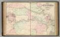
Vicinity of Richmond.
1 : 180000 Johnson, A.J.
Map of the seat of war. Published by T.A. Burke
1 : 800000 Howell, R. H.
Vicinity of Richmond, and Peninsular Campaign in Virginia (American Civil War).
1 : 189000 Johnson, A.J.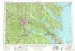
Richmond
1 : 250000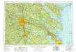
Richmond
1 : 250000
Richmond
1 : 250000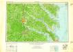
Richmond
1 : 250000
Richmond
1 : 250000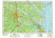
Richmond
1 : 250000
Map of the Region between Gettysburg, Pa. and Appomattox Court House, Va.
1 : 285120 Weyss, John E.
Central Virginia showing Lieut Gen'l U.S. Grant's Campaign and Marches.
1 : 350000 United States. War Dept. Engineer Bureau
Maryland.
1 : 1774080 Scott, Joseph
Lloyd's Military Campaign Charts: North Carolina Coast
Lloyd's Military Campaign Charts, showing the principal places of interest, compiled from official data by Gen. E.L. Viele and C. Haskins. Published under the auspices of the American Geographical and Statistical Society. North Carolina Coast.
A Chart of the Chesapeake And Delaware Bays.
1 : 354816 Lucas, Fielding Jr.
Bird's-eye view of the Seat of War
Bird's-eye view of the Seat of War, arranged after the latest Surveys. This Bird’s Eye View of the Seat of War, published by Prang, displays the region around the Chesapeake Bay and Potomac River, showing Washington, D.C., Baltimore, Harper’s Ferry, Richmond, Manassas Junction (Bull Run), Fort Monroe and Norfolk Harbour. The map also details railroad lines. It is possible to see a drawing of the Capitol building where Washington, D.C. is labelled. L. Prang & Co.

