Cataloged map
Lambert-Cholesky sheet 4269 (Muntele Tarcau)


Full title:Lambert-Cholesky sheet 4269 (Muntele Tarcau)
Depicted:1953
Pubdate:1953
Publisher:Direcția Topografică Militară
Map scale:1:20 000
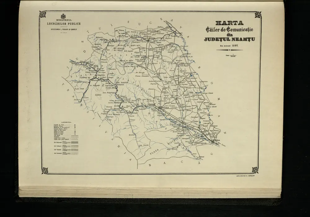
Harta Cailor de Comunicatie din Judetul Neamtu
1897
1:200k
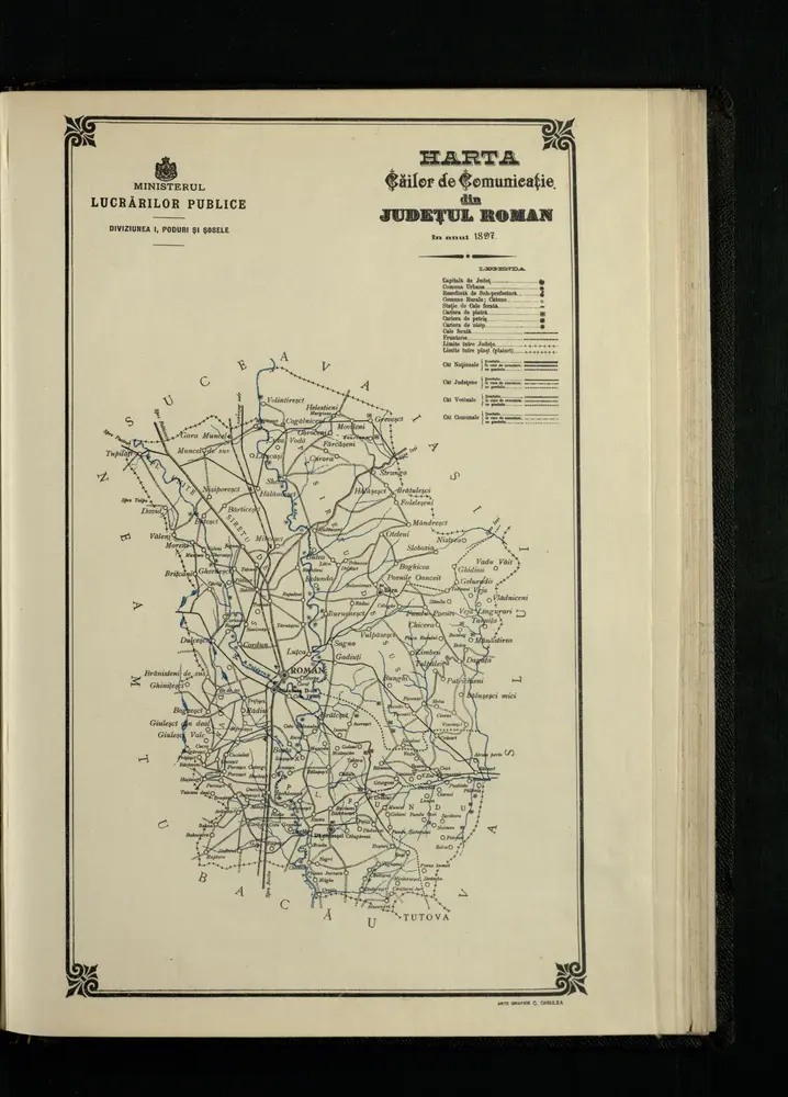
Harta Cailor de Comunicatie din Judetul Roman
1897

Gyergyobekas.; Spezialkarte der osterreichisch-ungarischen Monarchie.
1907
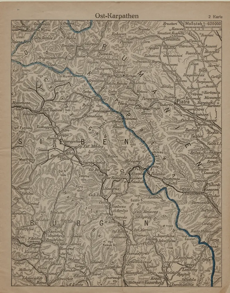
Ost-Karpathen
1916
1:600k
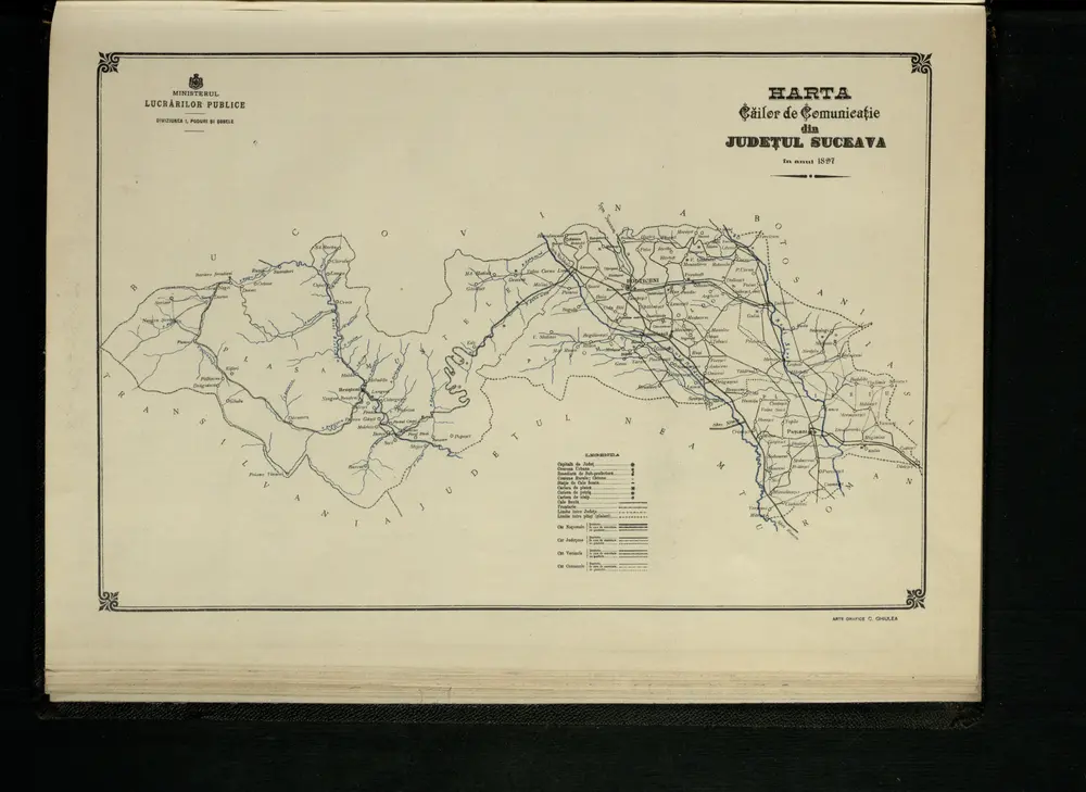
Harta Cailor de Comunicatie din Judetul Suceava
1897
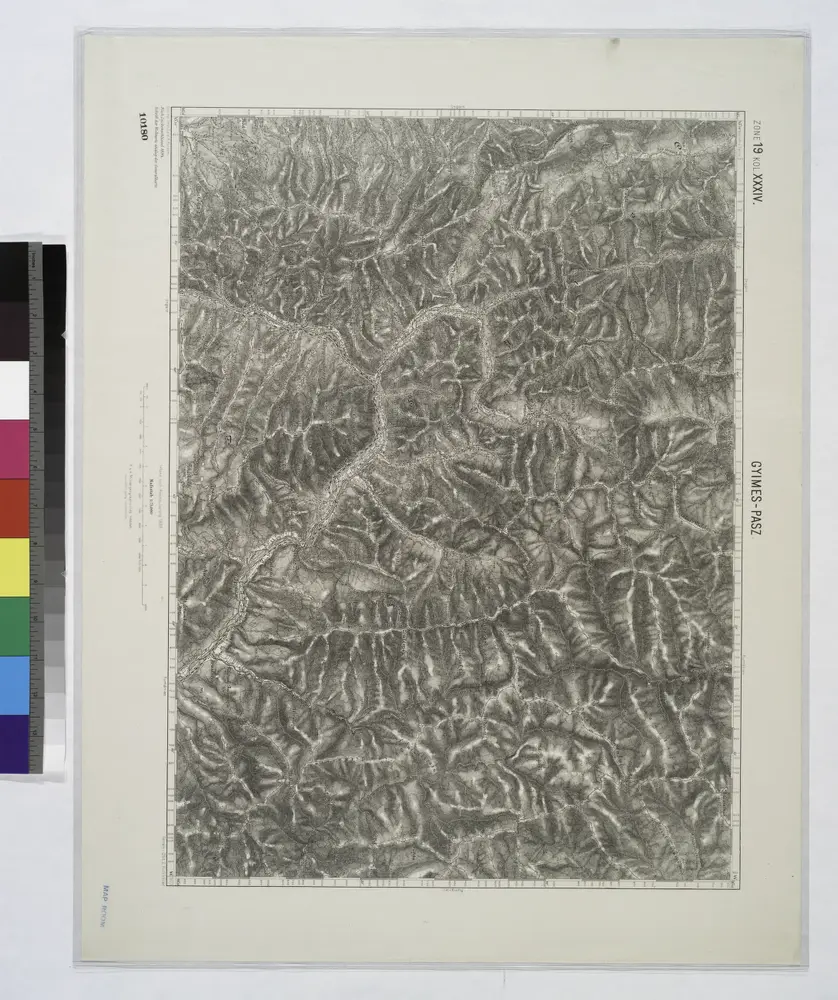
Gyimes-Pasz.
1914
Lambert-Cholesky sheet 4774 (Lungani)
1957
Direcția Topografică Militară
1:20k
Lambert-Cholesky sheet 4773 (Boghicea)
1956
Direcția Topografică Militară
1:20k
Lambert-Cholesky sheet 4772 (Bîra)
1956
Direcția Topografică Militară
1:20k
Lambert-Cholesky sheet 4771 (Dagâţa)
1917
Serviciul Geografic al Armatei
1:20k