Mapa catalogado
Lambert-Cholesky sheet 3482 (Vf. Mihailecul)


Título completo:Lambert-Cholesky sheet 3482 (Vf. Mihailecul)
Año de ilustración:1940
Fecha de publicación:1940
Editorial:Institutul Geografic Militar
Tamaño físico:20 x 30 cm
Escala del mapa:1:20 000
n/a
1800
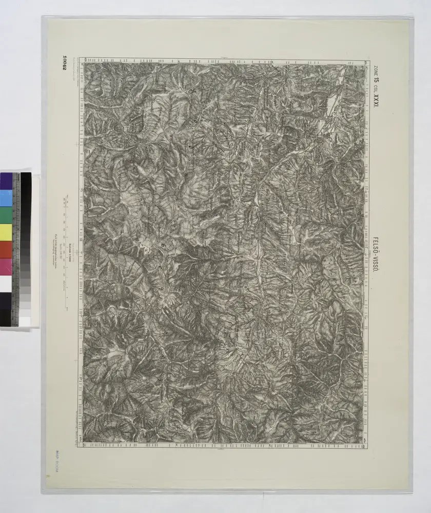
Felso-Visso.
1914
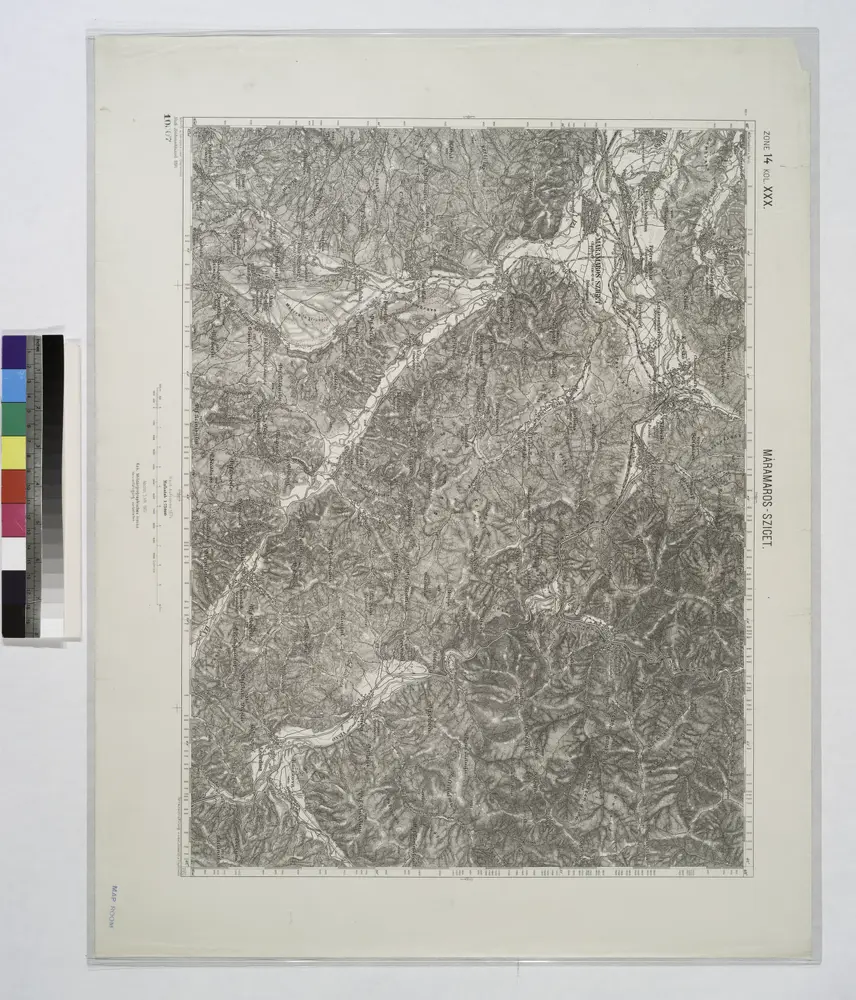
Maramaros-Sziget.
1914
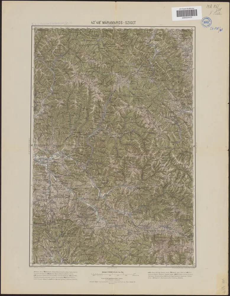
42°48° Máramaros-Sziget / K.u.k. militär-geographisches Institut
1889
K.u.k. militär-geographisches Institut
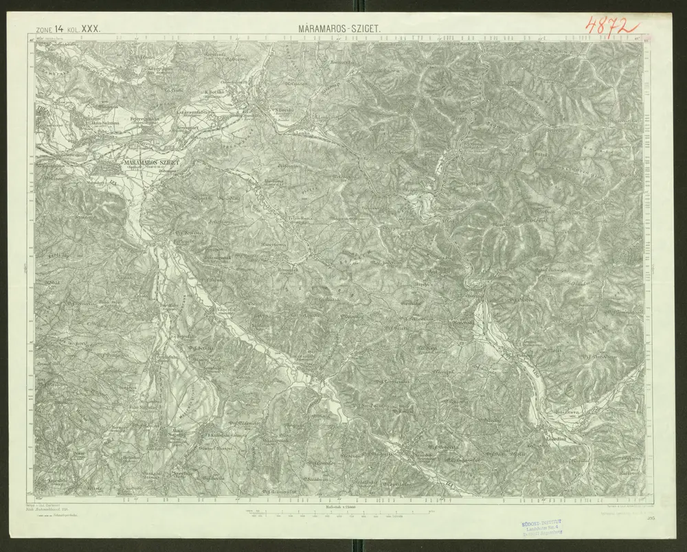
Máramaros-Sziget
1914
Geripp: v. Lieut. Charlemont. Terrain: v. Leut. Jonak Edl. v. Freyenwald
1:75k
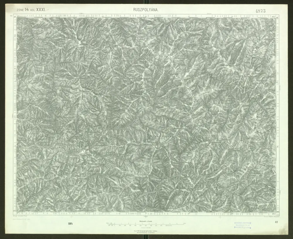
Ruszpolyána
1909
Geripp: Assistent Pflügl. Terrain: Oberlt. Blaschke
1:75k
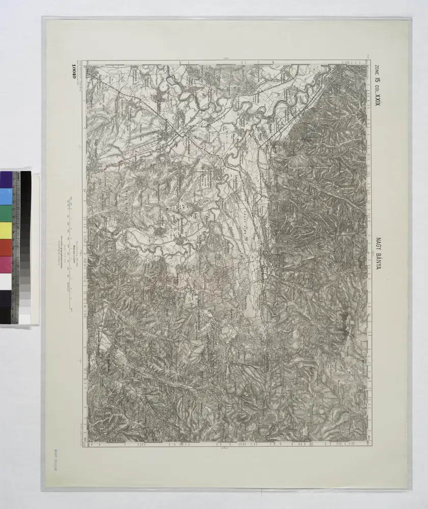
Nagy Banya.; Spezialkarte der osterreichisch-ungarischen Monarchie.
1908
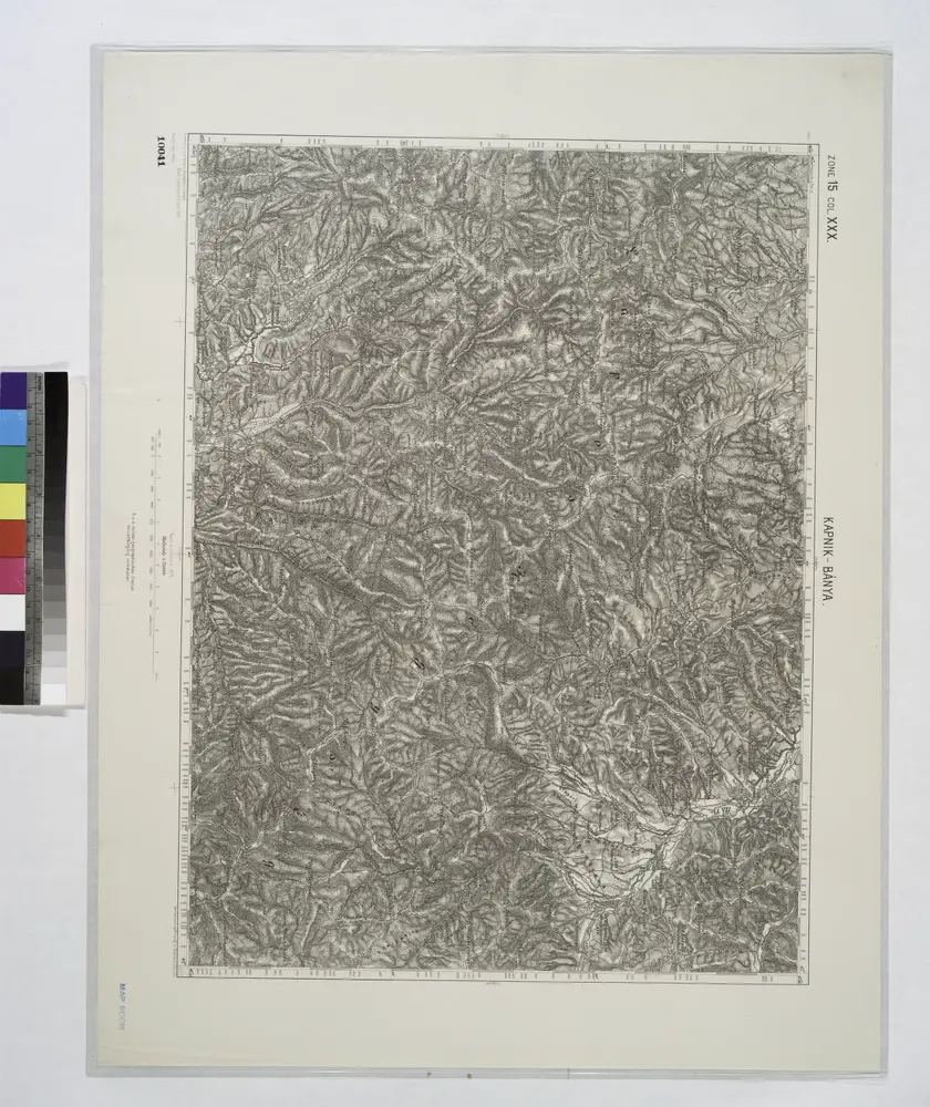
Kapnik-Banya.; Spezialkarte der osterreichisch-ungarischen Monarchie.
1896
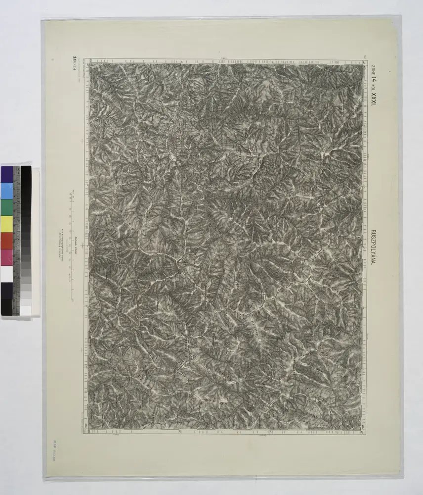
Ruszpolyana.; Spezialkarte der osterreichisch-ungarischen Monarchie.
1909
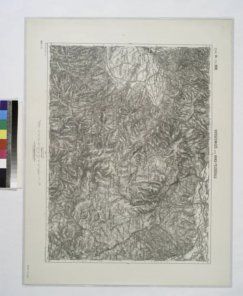
Hosszumezo und Avas-Felsofalu.; Spezialkarte der osterreichisch-ungarischen Monarchie.
1908