Cataloged map
Mediomatrici


Full title:Mediomatrici
Depicted:1656
Publisher:chez l'auteur
Physical Size:20 x 30 cm
Mediomatrici
1731
Sanson; Robert de Vaugondy
Mediomatrici
1656
Sanson
Département de la Moselle
1790
Houdan
Übersichtskarte für den 15ten August Abends
1870
Kgl. Hofbuchh. v. E.S. Mittler Sohn
1:200k
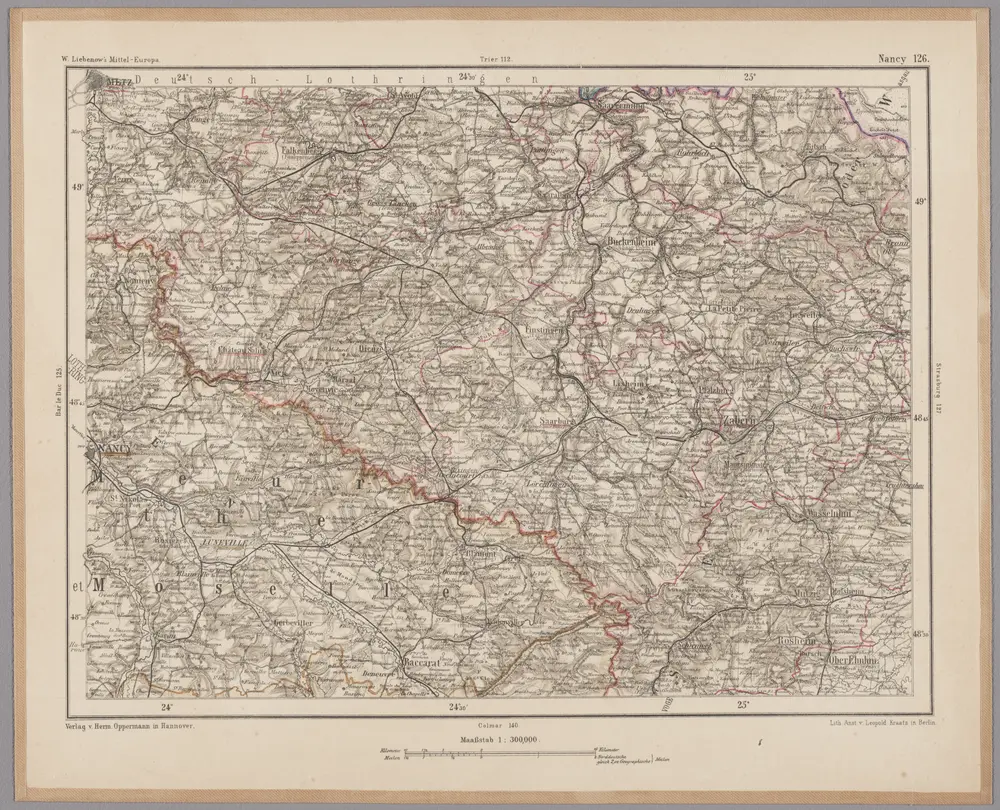
Nancy 126, uit: [W. Liebenow's Special-Karte von Mittel-Europa]
1870
Johannes Wilhelm Liebenow 1822-1897
1:300k
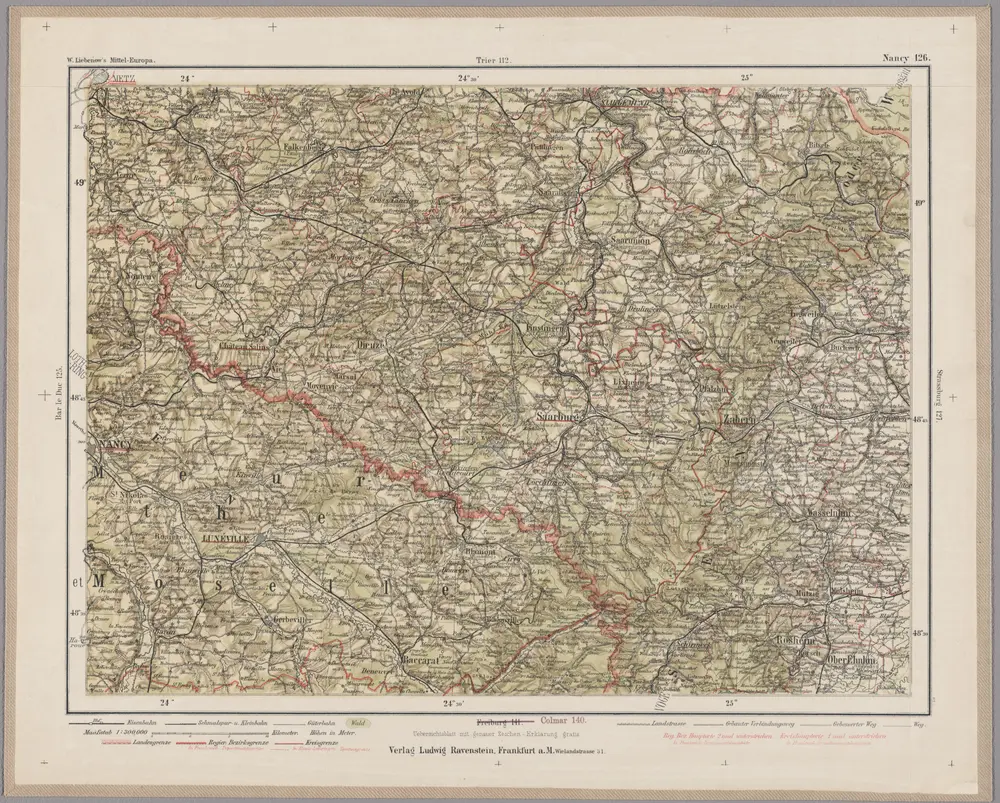
Nancy 126, uit: Special-Karte von Mittel-Europa / nach amtlichen Quellen bearbeitet von W. Liebenow
1899
Johannes Wilhelm Liebenow 1822-1897
1:300k
Le pays Messin, partie du temporel de l'evesché de Metz et partie du balliage allemand, dans le duché de Lorraine
1781
Jaillot
Mediomatrici
1730
Sanson; Robert de Vaugondy
Mediomatrici
1656
Sanson; Mariette
Lotharingia septentrionalis
1630
Mercator; Keere