Mapa catalogado
Duché et gouvernement de Normandie


Título completo:Duché et gouvernement de Normandie
Año de ilustración:1667
Editorial:s.n.
Tamaño físico:20 x 30 cm
n/a
1791
Normannia
1818
L'Isle
Carte de Normandie
1810
L'Isle; Buache; Dezauche
Carte de Normandie
1778
L'Isle; Condet
Carte de Normandie
1716
L'Isle
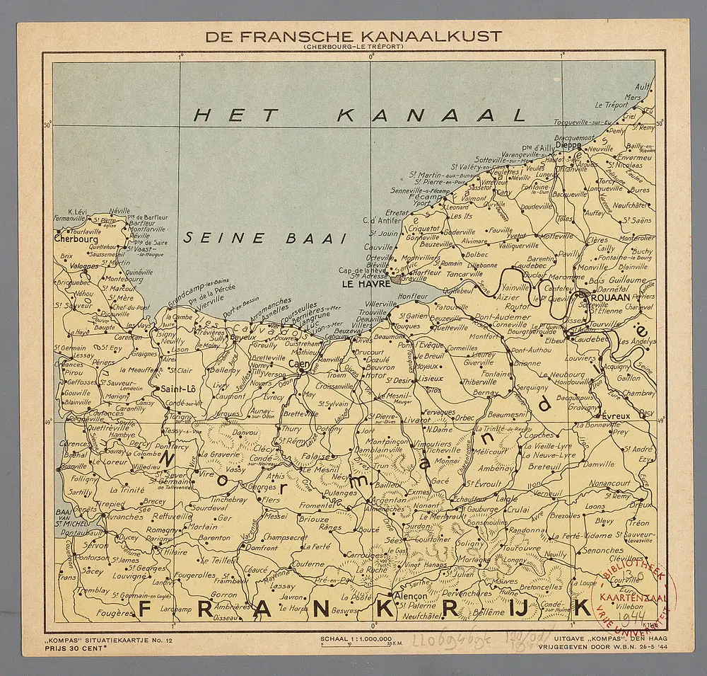
De Fransche Kanaalkust : (Cherbourg-Le Tréport)
1944
Den Haag : Kompas
1:1m
Carte de la province de Normandie
1780
Duperrier
Le Duché et gouvernement de Normandie
1783
Crépy; Crépy
Le Duché et gouvernement de Normandie
1736
Crépy
Carte de la Normandie
1777
Legendre; Lattré