Mapa catalogado
Artesia cum finitimis locis velut sedes ac theatrum belli


Título completo:Artesia cum finitimis locis velut sedes ac theatrum belli
Año de ilustración:1710 - 1730
Editorial:Matthäus Seutter
Tamaño físico:20 x 30 cm
Département du Pas de Calais
1790
Houdan
Artesia descriptio
1630
Mercator; Surhon
Tabula comitatvs Artesiæ
1778
Wit
Tabula comitatvs Artesiæ
1688
Wit
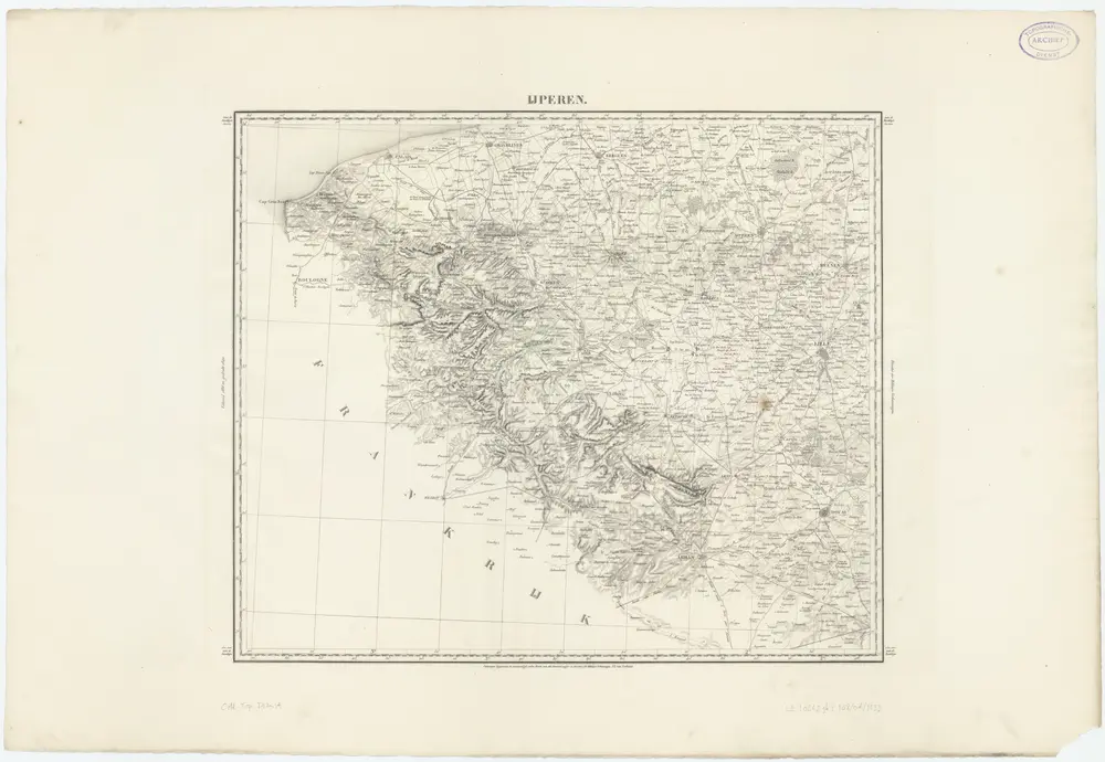
IJperen, uit: [Choro-mineralogische en algemeene hijdrographische kaart van een gedeelte der Zuidelijke provincien van het Koningrijk der Nederlanden] / ontworpen en volgens onder eigene directie verrigte opnemingen vervaardigd ... door den generaal-majoor en directeur der militaire verkenningen J.E. van Gorkum
1833
Jan Egbert van Gorkum 1781-1862
1:200k
Novissima Artesiæ comitatus tabula
1727
Danckerts; Danckerts
Carte d Artois et des environs
1810
L'Isle; Buache; Dezauche; Des Rosiers
Carte de Picardie septentrionale d'Artois et des environs
1778
L'Isle; Condet
Carte d Artois et des environs
1711
L'Isle
Carte d'Artois et des environs
1720
Mortier; Sanson; L'Isle