Cataloged map
Gouvernement de Berry


Full title:Gouvernement de Berry
Depicted:1782
Publisher:Mentelle
Physical Size:20 x 30 cm
Département du Cher
1790
Houdan; Dumez
Département du Cher
1796
Capitaine
n/a
1791
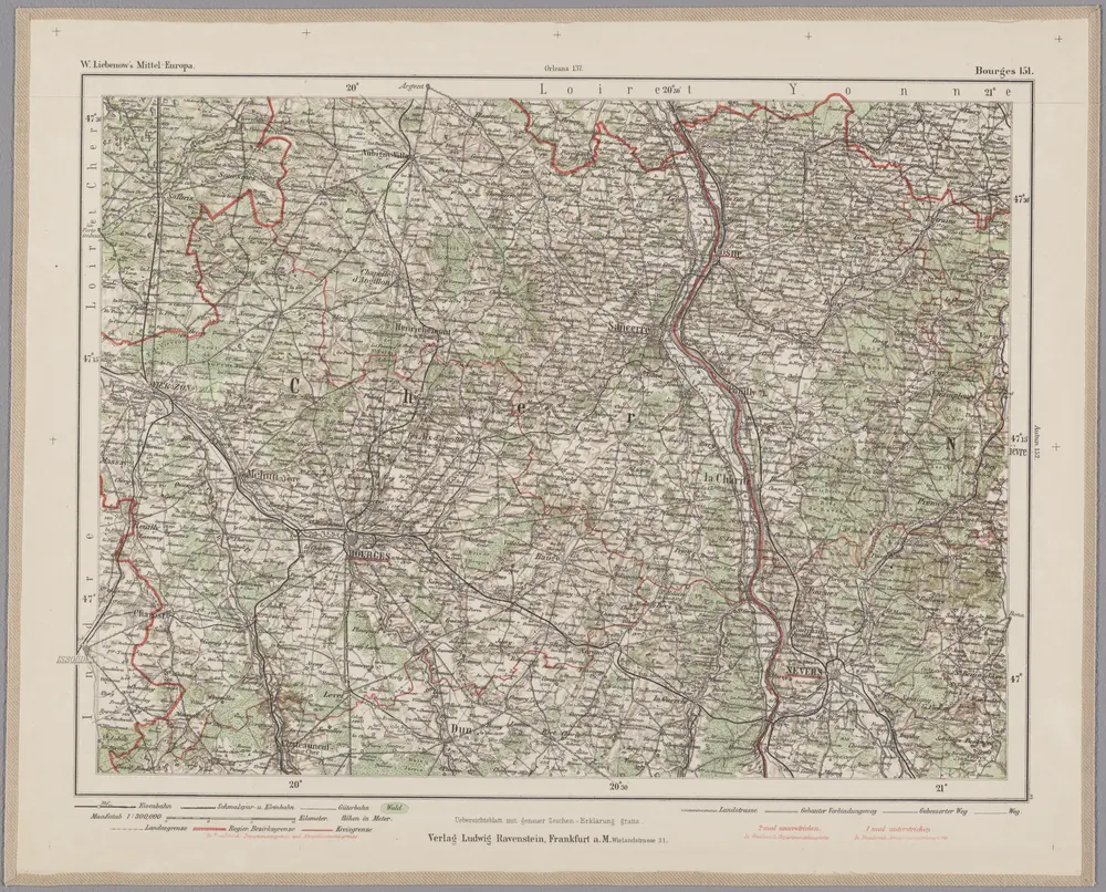
Bourges 151, uit: Special-Karte von Mittel-Europa / nach amtlichen Quellen bearbeitet von W. Liebenow
1899
Johannes Wilhelm Liebenow 1822-1897
1:300k
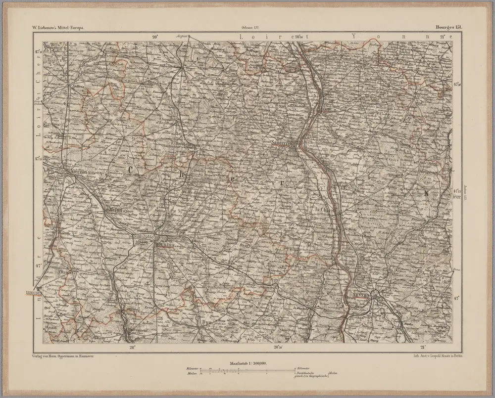
Bourges 151, uit: [W. Liebenow's Special-Karte von Mittel-Europa]
1870
Johannes Wilhelm Liebenow 1822-1897
1:300k
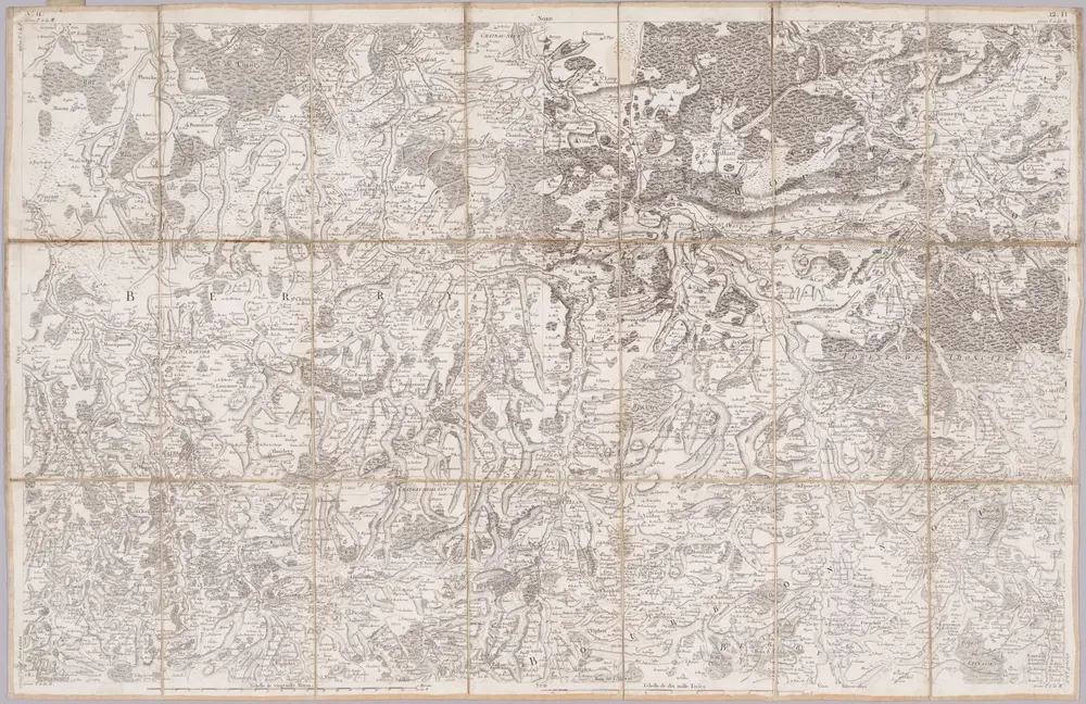
No. 11 [Indre], uit: Carte géométrique de la France dite "Carte de Cassini" ou "de l'Académie"
1756
Cassini de Thury, C.-F.
1:86k
[Bourges]
1761
Le Roy
[La Châtre]
1768
s.n.
Diocese de l'archevesche de Bourges
1678
1:211k
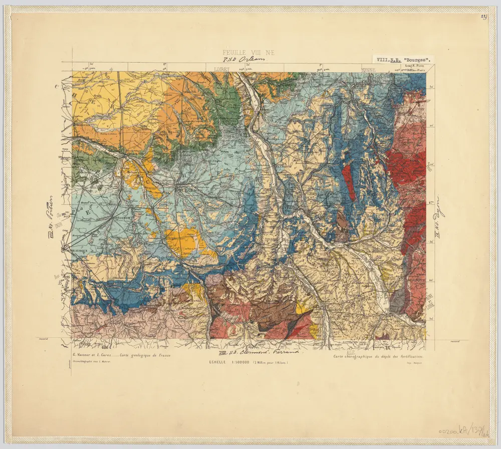
22) VIII.N.E. ''Bourges'', uit: Carte géologique de France
1885
[S.l : s.n.]
1:500k