Cataloged map
[Cambray]


Full title:[Cambray]
Depicted:1759
Publisher:s.n.
Physical Size:20 x 30 cm
Archiepiscopatvs Cameracensis
1643
Blaeu
L'archevesche de Cambray
1633
Tavernier; Hondius
[Cambray]
1759
Seguin; Desbruslins
Arcihiepiscopatus Cameracensis ; Archevesche de Cambray
1639
1:59k
Le Cambresis comté et le duché de Cambray, avec le marq.at du chasteau de Cambray
1675
Duval
Carte du département du Nord ou les provinces de Flandre du Hainaut et du Cambresis, 2
1794
s.n.
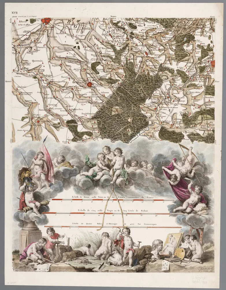
XVII [Emplacement des echelles], uit: Carte chorographique des Pays-Bas Autrichiens / ... par le Comte de Ferraris ; gravée par L.A. Dupuis
1777
Ferraris, Johann Joseph; Dupuis, L. A.
1:86k
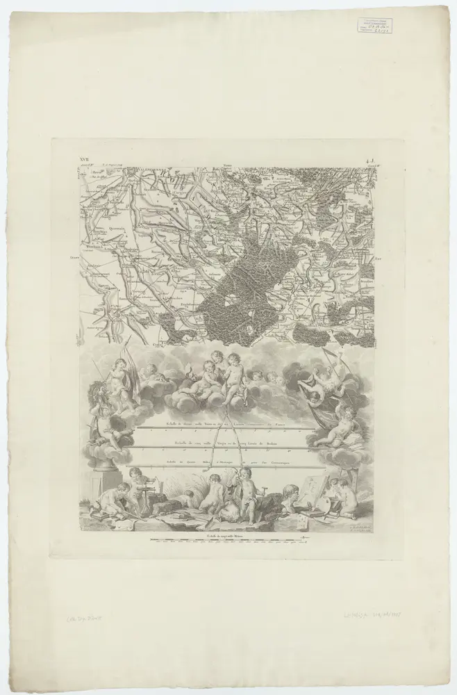
XVII ; 4.J., [Emplacement des echelles], uit: Carte chorographique des Pays-Bas Autrichiens / ... par le Comte de Ferraris ; gravée par L.A. Dupuis
1807
Joseph-Jean François Ferraris Comte de 1726-1814; L.A. Dupuis
1:86k
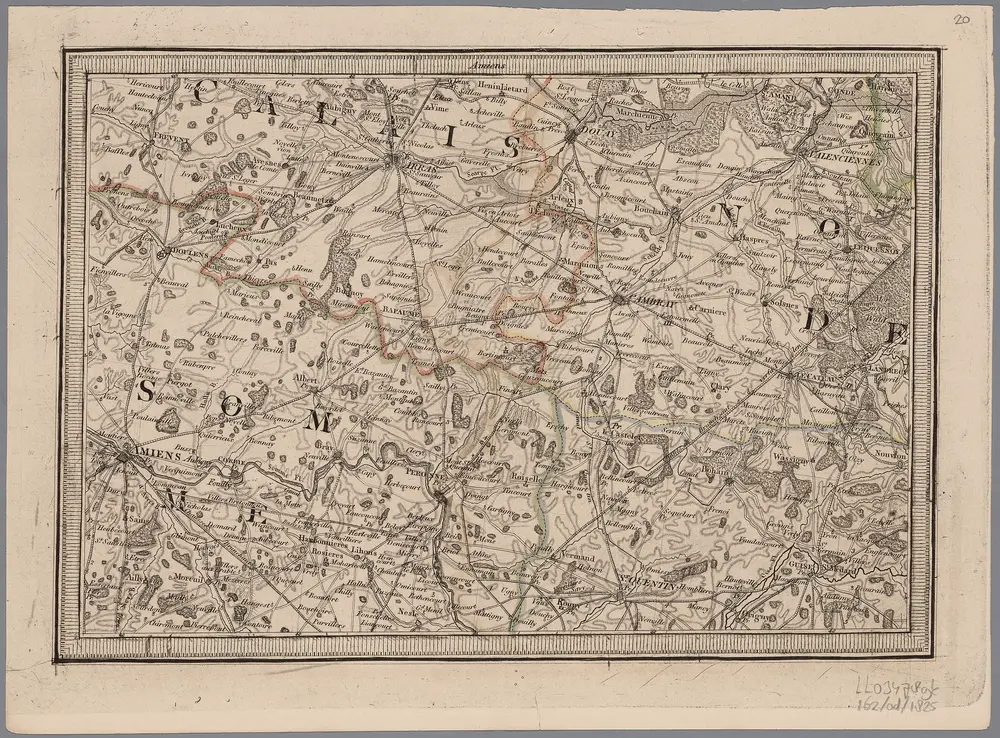
[20], uit: Hydro-Oro und Chorographische General Karte des Koenigreichs der Niederlande und der angrenzenden Länder bis Paris : mit der Angabe der Kunst und Heer-Strassen und der Entfernung der Poststationen / ... zusammengetragen und reducirt von ... Wilhelm Müller
1825
Müller, Wilhelm (fl. 1818)
1:400k
Comitatûs Hannoniæ in suas quasque castellanias balliviatvs præfecturas et territoria accuratè divisi descriptio
1715
Homann