Maps of Asia
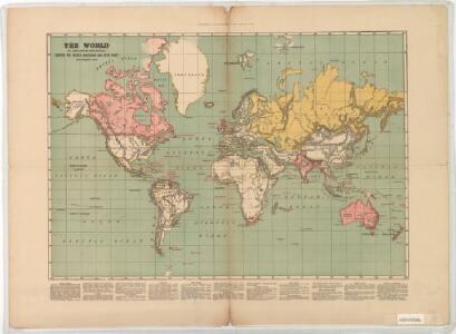
The world on Mercator's projection : showing the British possessions and chief ports coloured red
Relief shown by hachures. "Supplement to the Illustrated London News, May 9, 1885." Marginal notes on the population, revenue, imports and exports value and distance from Great Britain for each colony. London : Illustrated London News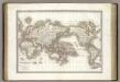
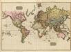
Mappe-monde.
1 : 75000000 Lapie, M. (Pierre), 1779-1850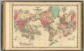
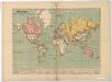
Map Of The World on Mercator's Projection.
1 : 75000000 Johnson, A.J.
Hyetographic; rain map.
1 : 71500000 Johnston, Alexander Keith, 1804-1871
World - climate.
1 : 260000000 John Bartholomew and Son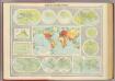
Mapping of the world.
1 : 120000000 John Bartholomew and Son
General chart, Mercator proj.
1 : 168000000 Seaman, James V.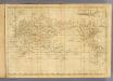
World Mercator's projection.
1 : 112000000 Arrowsmith, Aaron; Lewis, Samuel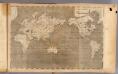
World Mercator's projection.
1 : 112000000 Arrowsmith, Aaron; Lewis, Samuel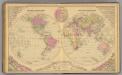
World.
1 : 60000000 Gray, Frank Arnold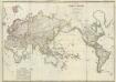
Composite: Mappe-monde
1 : 27000000 Brue, Adrien Hubert, 1786-1832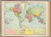
World - political.
1 : 82000000 John Bartholomew and Son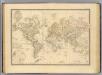
Terre, Mercator proj.
1 : 70000000 Andriveau-Goujon, J.
Planiglob zur Ubersicht der verschiedenen Bekleidung's Weise der Bewohner des ganzen Erdbodens.
1 : 140000000 Berghaus, Heinrich
Nova totius terrarum orbis geographica ac hydrographica tabula / autore N.I. Piscator
1 : 50000000 Annotatie: Origineel is Blad 1 in atlas factice; Met talrijke kostuumfiguren in kaartrand Visscher, Claes Jansz. [Amsterdam : C.J. Visscher excudebat]
Verschiedenes zur Anthropographie.
1 : 200000000 Berghaus, Heinrich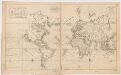
Carte generale de toutes les costes du Monde : et les pays nouvellement decouvert
1 : 450000 Cóvens et Mortier chez Iean Cóvens et Corneille Mortier Libraires
Isothermal, winds; Religions Europe.
Andree, Richard; Times (London, England)
Isothermen- u. Windkarte; Religionskarte v. Europa.
Andree, Richard
Hyetographische Karte der Erde.
1 : 100000000 Berghaus, Heinrich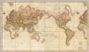
Chart of the world upon Mercator's projection.
1 : 20000000 Cary, John, ca. 1754-1835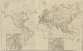
XIV. Charte für die allgemeine Geschichte vom Frieden zu Presburg bis auf den IIten Frieden zu Paris : d.i. von 1806 bis 1815 n. Christus
Entworfen von F.W. Benicken Weimar : im Verlage des L. Industrie-Comptoirs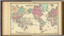
Colton's Map Of The World On Mercator's Projection.
1 : 65000000 Colton, G.W.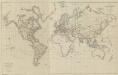
XV. Charte für die allgemeine Geschichte vom zweiter Pariser Frieden 1815 bis zu Ende des Jahres 1822 : d.i. von 1815 bis Ende 1822 n. Chr
Entworfen von F.W. Benicken A. Falger gr. Weimar : im Verlage des L. Industrie-Comptoirs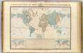
Systeme magnetique terrestre.
1 : 70000000 Garnier, F. A., 1803-1863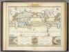
Windkarte der Erde.
1 : 100000000 Berghaus, Heinrich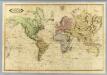
World.
1 : 51000000 Lizars, Daniel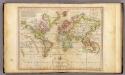
The World on Mercator's Projection.
1 : 135000000 Melish, John
World, Mercator's projection.
1 : 82000000 Hall, S. (Sidney)