Cataloged map
Le Sahara Occidental d'après trois pèlerins de l'Adrar


Full title:Le Sahara Occidental d'après trois pèlerins de l'Adrar
Depicted:1880
Pubdate:1880
Publisher:Alger : imp. A. Jourdan
Physical Size:20 x 30 cm
Map scale:1:1 754 385
Le Sahara Occidental d'après trois pèlerins de l'Adrar
1880
Masqueray, Émile 1843-1894
1:2m
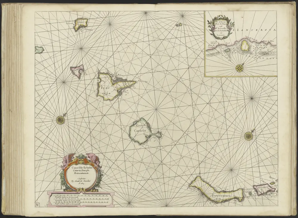
Nieuw' en Groote Loots-Mans Zee-Spiegel, ... (etc.) door Hendrick Doncker.
1666
Hendrick Doncker
Karte von der westlichen kuste von Africa : von der strasse bey Gibraltar bis zu dem XI grade norderbreite ...wahrnehmungen entworfen
1747
1:1
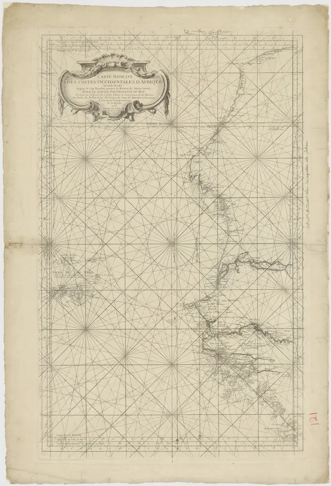
A chart of the western coast of Africa, from the Straits of Gibraltar to eleven degrees of north latitude, including the Canary & Cape Verd Islands
1745
1:13m
Kaart van west Afrika
1753
Bellin
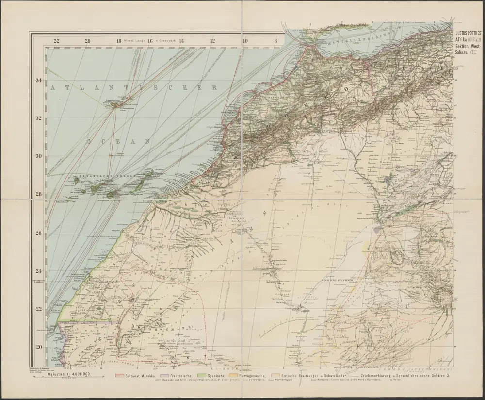
Spezial-Karte von Afrika
1893
Habenicht, Hermann
1:4m
Barbariae et Guineae maritimi à freto Gibraltar ad fluvium Gambiae cum Insulis Salfis Flandrisis et Canaricis
1675
1:55m
De cust van Barbaria, Gualata, Arguyn en Geneheo van Capo S Vincente tot Capo Verde
1660
1:6m

Speculum nauticum super navigatione maris Occidentalis confectum, continens omnes oras maritimas Galliae, Hispaniae et praecipuarum partium Angliae, in diuersis mappis maritimis comprehensum una cum usu et interpretatione carundem, accurata diligentia concinnatum, et elaboratum., mapa ze strany: [8]
1583
Waghenaer Lucas Janszoon
Barbariæ et Guineæ maritimi à freto Gibraltar ad fluvium Gambiæ
1739
Renard