Maps of Czech Republic

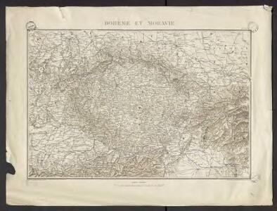
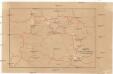
Géographie. croquis n5, Bohême et Moravie
1 : 1000000 Molard, Jules, Commandant [Paris] : Service Géographique de l'Armée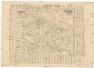
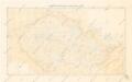
Poštovní mapa korunních zemí Čechy, Morava Slezsko
Česko Rašín, Jan náklad Farského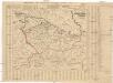
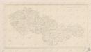
Poštovní mapa korunních zemí Čechy, Morava Slezsko
Česko Rašín, Jan náklad Farského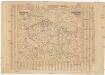
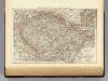
Poštovní mapa korunních zemí Čechy, Morava Slezsko
Česko Rašín, Jan náklad Farského
Železniční a národopisná mapa zemí koruny české a rakouska-uherska s vyznačením hranic dicésáních a obvodů obchodních komor
Karte mehrer Eisenbahnen Oesterreichs & Deutschlands
Německo jižní
Böhmisch-mährisches Stufenland
Tschechische Republik
Verkehrs - Karte von Böhmen, Mähren, Schlesien, Erzh. Oesterreich...
Přehledná mapa meteorologických stanic v Čechách, na Moravě a ve Slezsku
Bez titulu: Československo
Bohemia, Moravia, Austrian Silesia.
1 : 1500000 Andree, Richard; Times (London, England)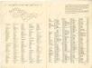
Československo v mapách

Mapa železnic Čech, Moravy a Slezska

Sachsen, Schlesien, Böhmen, Mähren, Ober- u. Nieder-Österreich
1 : 1900000 Dolní Rakousko (Rakousko) Kocen, Blaž Eduard Hölzel
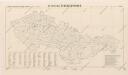
Bez titulu: Čechy
Republika Československá
Přehled kladu mapových listů měř. 1:10 000, 25 000, 50 000, 100 000

Post-cours Karte
Česko
[Česko a Dolní a Horní Rakousko]
1 : 1000000 Dolní Rakousko (Rakousko)
Böhmen, Mähren, Schlesien und Erzherzogthum Österreich
1 : 1088000 Rakousko Bomsdorff, Th. von F.A. Brockhaus' Geogr-artist. Anstalt
Böhmen, Mähren, Schlesien und Erzherzogthum Österreich
1 : 1090000 Rakousko Bomsdorff, Th. von Karl Prochaska
Die Sudetenländer
1 : 750000 Sudety (Česko) Velhagen & Klasing
Die Sudetenländer nach dem 20. November 1938
1 : 750000 Sudety (Česko) Velhagen & Klasing
Mittel-Östliches Deutschland oder Böhmen, Mähren und Schlesien
Hand-Atlas über alle Theile der Erde nach dem neuesten Zustande und über das Weltgebäude Stieler, Adolf bei Justus Perthes
Bähmen, Mähren, Österreich
Neuer Handatlas über alle Theile der Erde Kiepert, Heinrich Verlag von Dietrich Reimer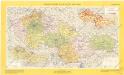
Československá socialistická republika

Verkehrs-Karte von Oesterreich-Ungarn
1 : 1100000 Rakousko-Uhersko Bomsdorff, Th. v. Karl Prochaska
Verkehrs-Karte von Oesterreich-Ungarn
1 : 1100000 Rakousko-Uhersko Karl Prochaska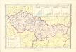
Historický atlas revolučního hnutí