Mapa catalogado
Carte d'une partie du Sahara septentrional


Título completo:Carte d'une partie du Sahara septentrional
Año de ilustración:1888
Fecha de publicación:1888
Editorial:Paris : [Ministère des Travaux Publics]
Tamaño físico:20 x 30 cm
Escala del mapa:1:1 000 000
Carte d'une partie du Sahara septentrional
1888
Foureau, Fernand 1850-1914; Erhard Fres
1:1m
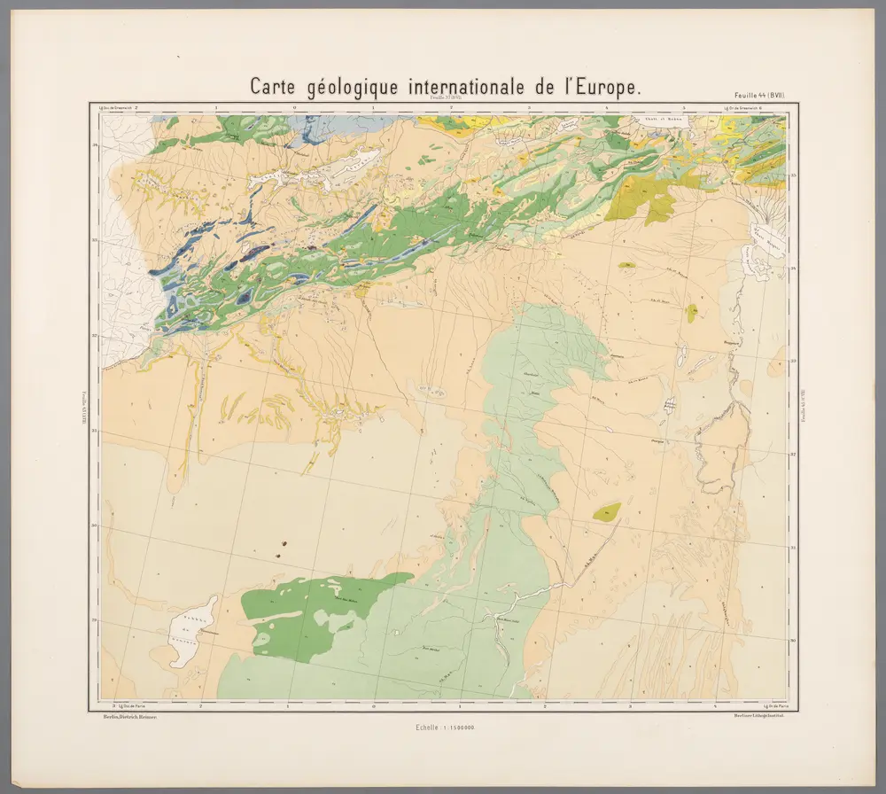
Feuille 44 (B VII), uit: Carte géologique internationale de l'Europe : la carte, votée au congrès géologique international de Bologne en 1881, est exécutée conformément aux décisions d'une commission internationale, avec le concours des gouvernements, sous le dir. de M.M. Beyrich et Hauchecorne
1881
Heinrich Ernst Beyrich 1815-1896; Wi. Hauchecorne
Carte d'un tracé d'un chemin de fer proposé par Oran, Sebdou, le Touat
1879
Kramer
1:2m
Maroc
1908
Flotte de Roquevaire, R. de
1:1m
[Maroko]
1855
Zeithammer, Antonín Otakar
[XXII], uit: Geognostische Karte des Oesterreichischen Kaiserstaates mit einem grossen Theile Deutschland's u. Italien / hauptsachlich nach ... Haidinger's geognostischer Karte dieses Staates bearb. von Josef Scheda
1847
Scheda, Joseph
1:3m
Algérie et Tunisie
1903
Niox, Gustave-Léon 1840-1921
1:2m
Esquisse du Sahara algérien
1907
Alger : imp. de A. Jourdan
1:3m
Maroc (500 000 e). Figuig
1908
France. Service géographique de l'armée
1:500k
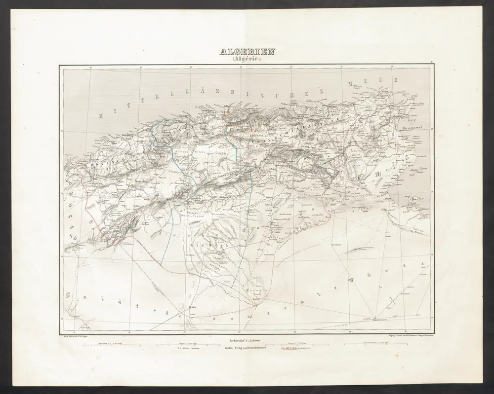
Algerien (Algérie.)
1851
Ziegler, Jakob Melchior