Cataloged map
Carte des missions catholiques du Soudan français et de la côte occidentale d'Afrique


Full title:Carte des missions catholiques du Soudan français et de la côte occidentale d'Afrique
Depicted:1897
Pubdate:1897
Publisher:[Lyon : Oeuvre de la propagation de la foi]
Physical Size:20 x 30 cm
Map scale:1:4 000 000
Carte de l'Afrique occidentale française. Forcados
1903
France. Service géographique des colonies
1:2m
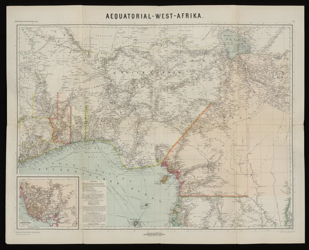
Aequatorial-West-Afrika
1893
Kiepert, Richard ; Sprigade, Paul
1:3m
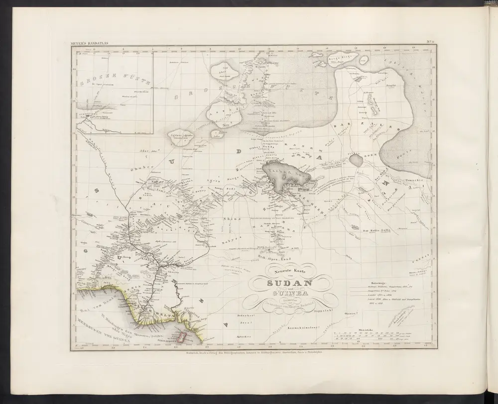
Neueste Karte von Sudan und Guinea
1860
Meyer, J.

Atlas minor, mapa ze strany: 603
1610
Mercator Gerhard
Carte des colonies de l'A.O.F. Dosso
1926
Afrique occidentale française. Service géographique
1:500k
Spezial-Karte von Afrika
1893
Habenicht, Hermann
1:4m
Carte des possessions anglaises et françaises sur le Golfe de Guinée
1884
Paris : impr. de F. Menetrier
1:5m
Mission du Commandant Decoeur entre le Dahomey et le Niger
1896
Decoeur
1:100k
Kolonien (Schutzgebiete) des Deutschen Reichs
1887
F.A. Brockhaus Geogr.-artist. Anstalt
1:6m
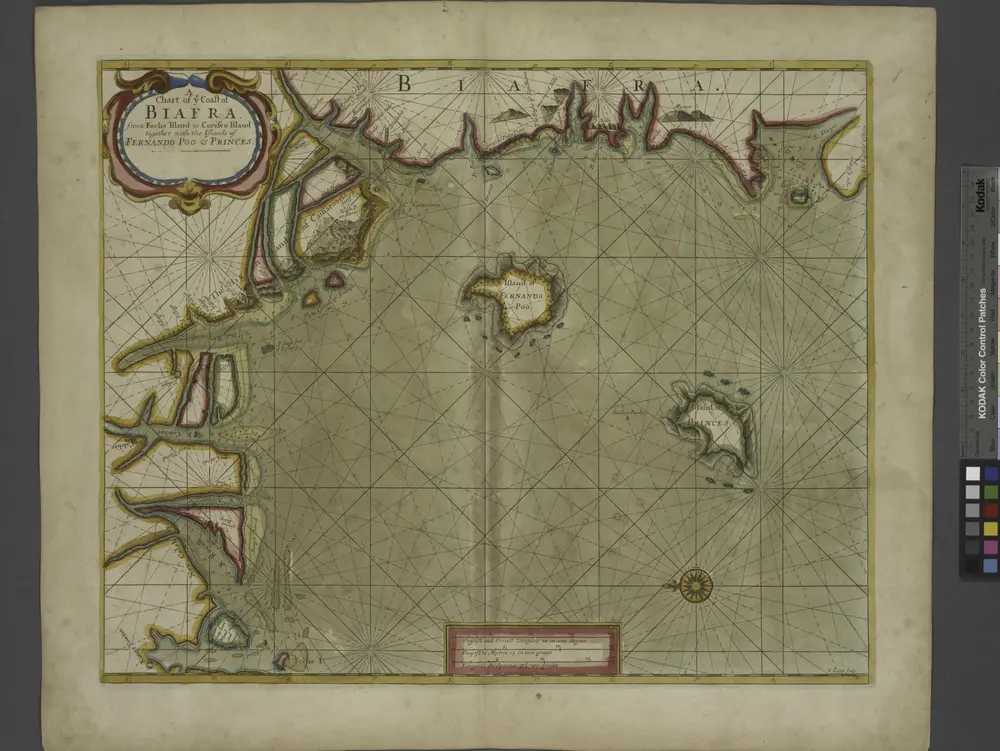
A chart of coast of BIAFRA from Foche Island to Corisco Island together with the Islands of FERNANDO POO and PRINCES
1707