Maps of Přimda

Katastrální mapa obce Lužná WC-XIV-21 bg
1 : 2880
Lusen - c4335-1-003 - Kaiserpflichtexemplar der Landkarten des stabilen Katasters
1 : 2880
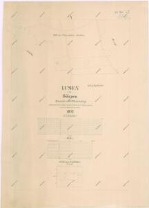
Lusen - c4335-1-001 - Kaiserpflichtexemplar der Landkarten des stabilen Katasters
1 : 2880
Lusen - c4335-1-002 - Kaiserpflichtexemplar der Landkarten des stabilen Katasters
1 : 2880
Katastrální mapa obce Lužná WC-XIV-21 bf
1 : 2880
Přehledová mapa velkostatku Tachov
1 : 17280
III. vojenské mapování 4149/2
1 : 25000
Gradkartenblatt
1 : 25000 Přimda-oblast (Česko) Bulla, Eduard
[Kartenblatt]
1 : 25000 Bor (Tachov, Česko : oblast) Reichsamt für Landesaufnahme

Uibersichtskarte der Herrschaft Tachau
Tachov-oblast (Česko) Waraus, E. André Verlag des böhm. Forstvereins
Hayder Vicariat
Bor-oblast (Tachov, Česko)
Pfraumberg
1 : 75000 Poběžovice (Domažlice, Česko : oblast) Kimlein K. u. k. militär-geographisches Institut
Pfraumberg
1 : 75000 Poběžovice (Domažlice, Česko : oblast) Kimlein K. u. k. Militärgeographisches Institut
Pfraumberg
1 : 75000 Přimda-oblast (Česko) K. u. k. Militärgeographisches Institut
Přehledová mapa velkostatku Tachov
1 : 17280
Stříbro a okolí
1 : 75000 Stříbro (Česko : oblast) Vojenský zeměpisný ústav
III. vojenské mapování 4149
1 : 75000
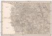
Politický okres Tachov
1 : 75000 Tachov (Česko : okres : 1960-) Vojenský zeměpisný ústav
Politický okres Tachov

Podrobná mapa Království českého
1 : 100000 Planá (Tachov, Česko : oblast) Srp, Jan Jaroslav Bursík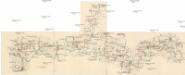
Böhmerwald-Verbindungsbahn
1 : 75000 Domažlice-Planá u Mariánských Lázní (Česko : železniční trať) Technisches Bureau Ing. Max Picha
Vilímkovy místopisné mapy zemí Koruny české
1 : 100000 Chodová Planá (Česko : oblast) Srp, Jan Jos. R. Vilímek
Marienbad und Tachau.
from Spezialkarte der osterreichisch-ungarischen Monarchie.
[Okolí Plzně - západ]
Plzeň-oblast (Česko) Krejčí, Jan Schwarzenberg, Bedřich
II. vojenské mapování 17
1 : 144000
Pfraumberg.
from Spezialkarte der osterreichisch-ungarischen Monarchie.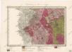
Umgebungen von Plan und Hayd
Umgebungen von Plan und Hayd
1 : 750000 Bor (Tachov, Česko : oblast) Kiss, Josef K. k. militär-geographisches Institut