Maps of gmina Boleszkowice

Maps of gmina Boleszkowice

$title$

Meßtischblatt 1700 : Fürstenfelde, 1935

1 : 250000 Fürstenfelde. - Hrsg. 1893, bericht. 1934. - 1:25000. - [Berlin]: Reichsamt für Landesaufnahme, 1935. - 1 Kt.
$title$

Meßtischblatt 1700 : Fürstenfelde,1918

1 : 250000 Fürstenfelde. - Aufn. 1891, hrsg. 1893, Aufldr. 1918. - 1:25000. - [Berlin]: Reichsamt für Landesaufnahme, 1918. - 1 Kt.
$title$

271. Custrin.

1 : 100000 Reichsamt fur Landesaufnahme
$title$

Composite: 271.1. Kustrin (Custrin).

1 : 100000 Reichsamt fur Landesaufnahme
$title$

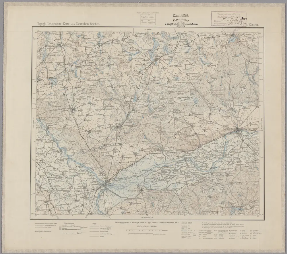
78. Küstrin, uit: Topographische Uebersichtskarte des Deutschen Reiches / herausgegeben v. d. Kartogr. Abt. d. Königl. Preuß. Landesaufnahme

1 : 200000 titelvariant: Topogr. Übersichtskarte des Deutschen Reiches; Annotatie: Titel boven bladen ook: Topogr. Übersichtskarte des Deutschen Reiches; Annotatie geografische gegevens: Op elk blad twee maatstokken: 10 Kilometer = 5,5 cm; 1 geogr. Meile = 3,6 cm; Legenda onder op elk blad Königlich Preußische Landesaufnahme. Kartographische Abtheilung [S.l : Königlich Preußische Landesaufnahme, Kartographische Abtheilung]
$title$

Abbildung der sehr grossen und blutigen Feldschlacht, welche am 25. August 1758 bei Zorndorf, ohnweit Cüstrin, zwischen der König. Preussischen Armée, unter Se. Königl. Maj. Höchsteigener Anführung, und der Russischen, unter Commando des Generals von Fermor, vorgefallen. bei welcher Se. König. Maj. abermal einen vollkommenen Sieg erfochten, ohnerachtet der grossen Überlegenheit der Feinde, sowol an Mannschaft als Geschütze, und der vorteilhaften Stellung, welche sie zwischen Wäldern und Morästen genommen

$title$

Der Lebusische Creis

1 : 296000 Lubušsko (Německo a Polsko) Oesfeld, Karl Ludwig von Sotzmann, Daniel Friedrich
$title$

Der Lebusische Creis

1 : 296000 Lubušsko (Německo a Polsko) Oesfeld, Karl Ludwig von Sotzmann, Daniel Friedrich
$title$

Der Lebusische Creis

1 : 296000 Lubušsko (Německo a Polsko) Oesfeld, Karl Ludwig von Sotzmann, Daniel Friedrich
$title$

$title$

$title$

Küstrin 48, uit: Special-Karte von Mittel-Europa / nach amtlichen Quellen bearbeitet von W. Liebenow

1 : 300000 titelvariant: W. Liebenow's Mittel-Europa; Annotatie: Titel boven de bladen: W. Liebenow's Mittel-Europa Johannes Wilhelm Liebenow 1822-1897 Frankfurt a. M. : Ludwig Ravenstein
$title$

Marchia nova Vulgo New Marck in March: Brandenburg

1 : 470000 Mollova mapová sbírka Schenk, Pieter Schenk, Peter I
$title$

MARCH. BRANDENBURGICI | PARS, quæ | MARCHIA MEDIA | Vulgo MITTELMARCK audit.

Amstelædami, | Excud. Joannes Blaeu.
$title$

[Berlin und Umgebung; Die Donau von Paussau bis Wien mit Umgebung]

Stieler's Hand-Atlas Stieler, Adolf bei Justus Perthes
$title$

March. Brandenburgici pars, quae Marchia Media vulgo Mittelmarck audit

1 : 400000 Annotatie: Origineel is Blad 91 in atlas factice; Annotatie geografische gegevens: Met schaalstok: Milliaria Germanica Joan Blaeu 1597/98-1673 Amstelaedami : excud. Joannes Blaeu
$title$

MARCHIONATUS | BRANDENBURGICI | PARTES DUÆ, | NOVA MARCHIA | et | UCKERANA

Auctore | OLAO JOANNIS GOTHO | Gustaui Magni Cosmographo. [Amsterdam : Joan Blaeu]
$title$

Sect. 15: Frankfurt a/O, uit: Geologische Karte des Deutschen Reichs in 27 Blaettern / [von] Richard Lepsius ; Red. von C. Vogel

1 : 500000 Annotatie: Blad 18 ontbreekt; Een aantal bladen op linnen; Een aantal bladen gereviseerd 1913-1914; Annotatie geografische gegevens: Met schaalstokken o.a. in kilometers; Legenda Carl Vogel 1828-1897 Gotha : Justus Perthes
$title$

Marchia Media Vulgo Mittel Marck in March: Brandenb:

1 : 500000 Mollova mapová sbírka Valk, Gerhard Schenk, Peter I
$title$

Marchia Media Vulgo Mittel Marck in March: Brandenb:

1 : 510000 Mollova mapová sbírka Janssonius, Johannes Janssonius, Johannes I
$title$

March. Brandenburgici Pars, quae Marchia Media Vulgo Mittesmarck audit

1 : 400000 Mollova mapová sbírka Wit, Frederik de Covens, Johannes I
$title$

Mapa Wojewodztwa Szczecinskiego

$title$

Berlin

1 : 600000 Opitz, Carl Solbrig
$title$

Stettin

1 : 600000 Opitz, Carl Solbrig
$title$

$title$

Marchia Media; Vulgo Mittel Marck in March: Brandenb: [Karte], in: Novus atlas absolutissimus, Bd. 2, S. 60.

1 Karte aus Atlas Janssonius Offizin
$title$

Marchia Nova; Vulgò New Marck in March. Brandenburg. [Karte], in: Novus atlas absolutissimus, Bd. 2, S. 63.

1 Karte aus Atlas Janssonius Offizin
$title$

Berlin Varta Wegweiser

$title$

Palatinatus Posnaniensis. In Majori Polonia Primarii Nova Delinatio [Karte], in: Novus atlas absolutissimus, Bd. 1, S. 96.

1 Karte aus Atlas Janssonius Offizin
$title$

Electoratus sive Marchia Brandenburgensis, juxta novissimam Delineationem in mappa Geographica accuratae aeri incisa opera et Sumptibus

1 : 500000 Mollova mapová sbírka Seutter, Matthäus Seutter, Matthäus
© MapTiler © OpenStreetMap contributors
How does it work?
These instructions will show you how to find historical maps online.
Getting started
Type the place name in the search box to find the exact location. You can further adjust the search by zooming in and out.
Zoom
Zoom in and out with the buttons or use your mouse or touchpad natively.
Exact Area tool
Click here and draw a rectangle over the map to precisely define the search area.
Set filters
Narrow your search with advanced settings, such as Years (from/to), Fulltext, Publisher, etc.
Results
See the results of your search on the right side. You can scroll down to find more maps of this location.
?

Download OldMapsOnline Mobile