Cataloged map
Meßtischblatt 2380 : Blankenburg, 1888


Full title:Meßtischblatt 2380 : Blankenburg, 1888
Depicted:1888
Pubdate:1888
Physical Size:20 x 30 cm
Map scale:1:250 000
Meßtischblatt 2380 : Blankenburg am Harz, 1934
1934
1:250k
Meßtischblatt 2380 : Blankenburg, 1905
1905
1:250k
Meßtischblatt 2380 : Blankenburg, 1888
1888
1:250k
n/a
1791
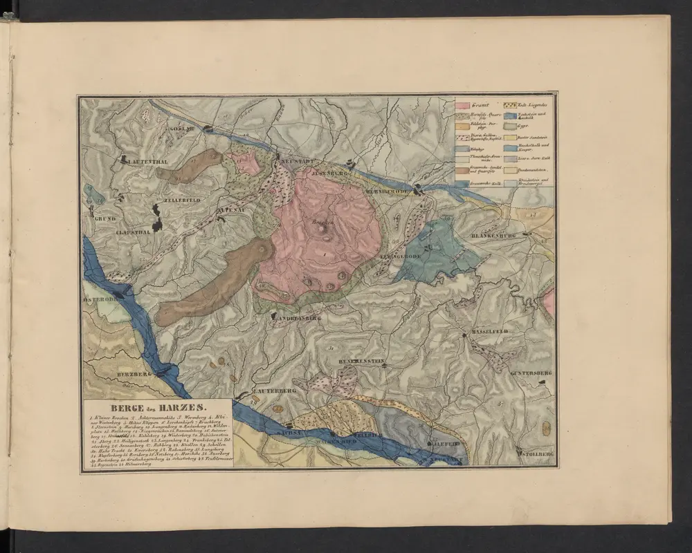
Berge des Harzes
1841
Leonhard, Carl Cäsar von
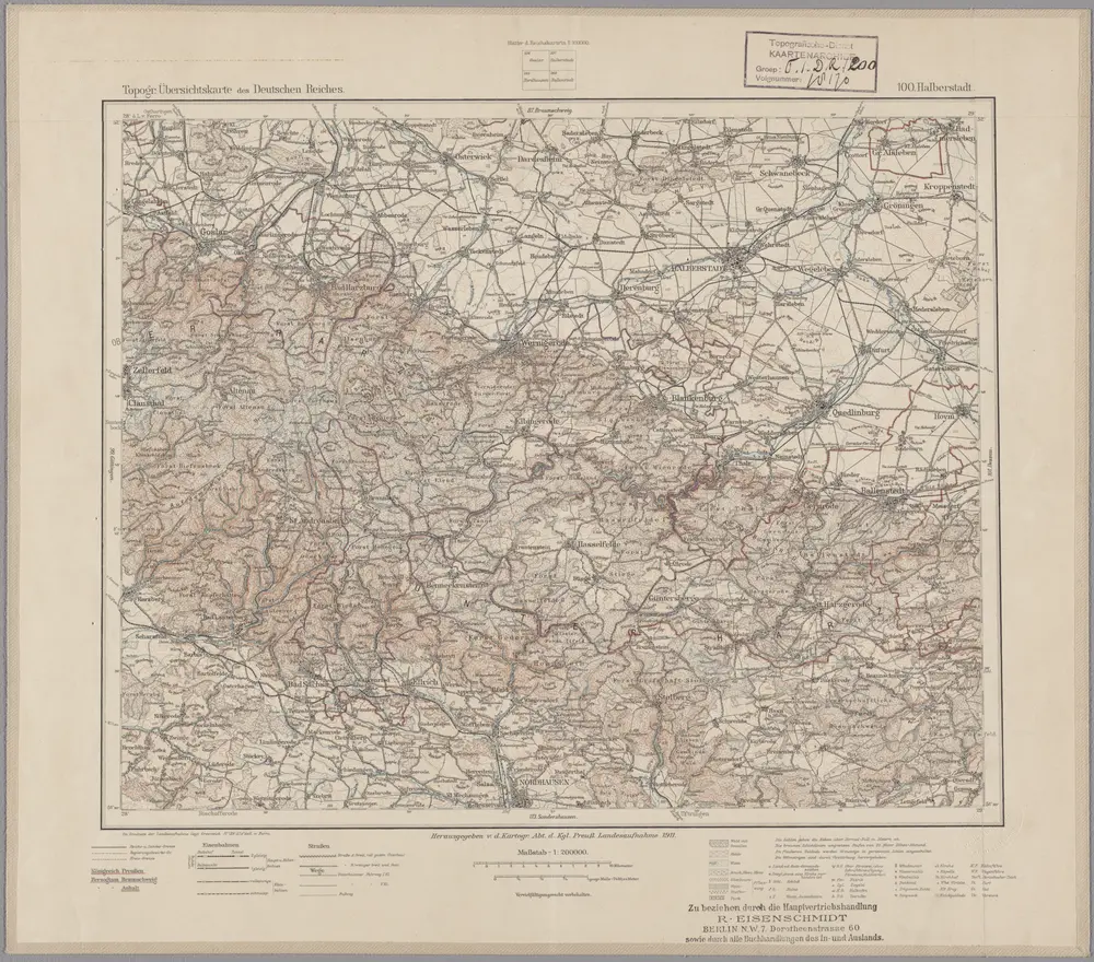
100. Halberstadt, uit: Topographische Uebersichtskarte des Deutschen Reiches / herausgegeben v. d. Kartogr. Abt. d. Königl. Preuß. Landesaufnahme
1899
Königlich Preußische Landesaufnahme. Kartographische Abtheilung
1:200k
n/a
1791
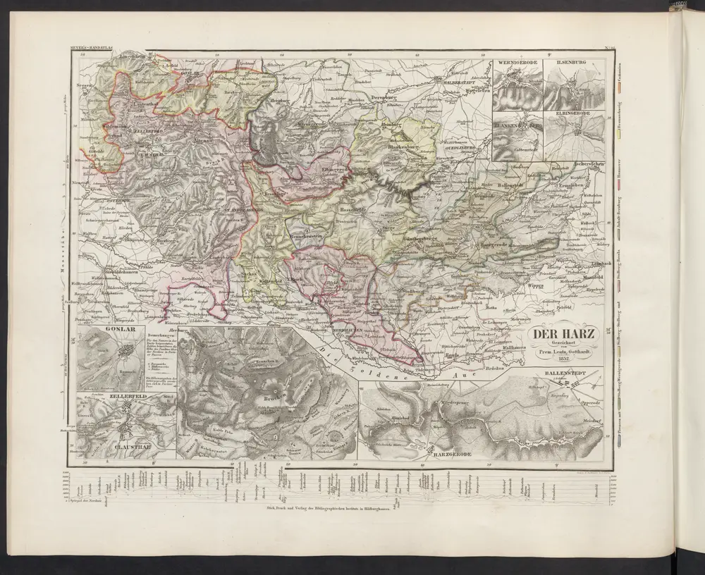
Der Harz
1860
Meyer, J.
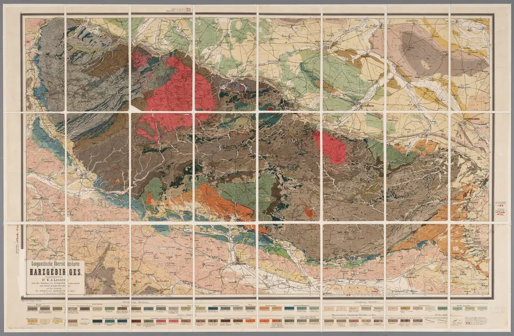
[Kaart], uit: Geognostische Übersichtskarte des Harzgebirges / zsgest. von K.A. Lossen
1882
K.A. Lossen
1:100k
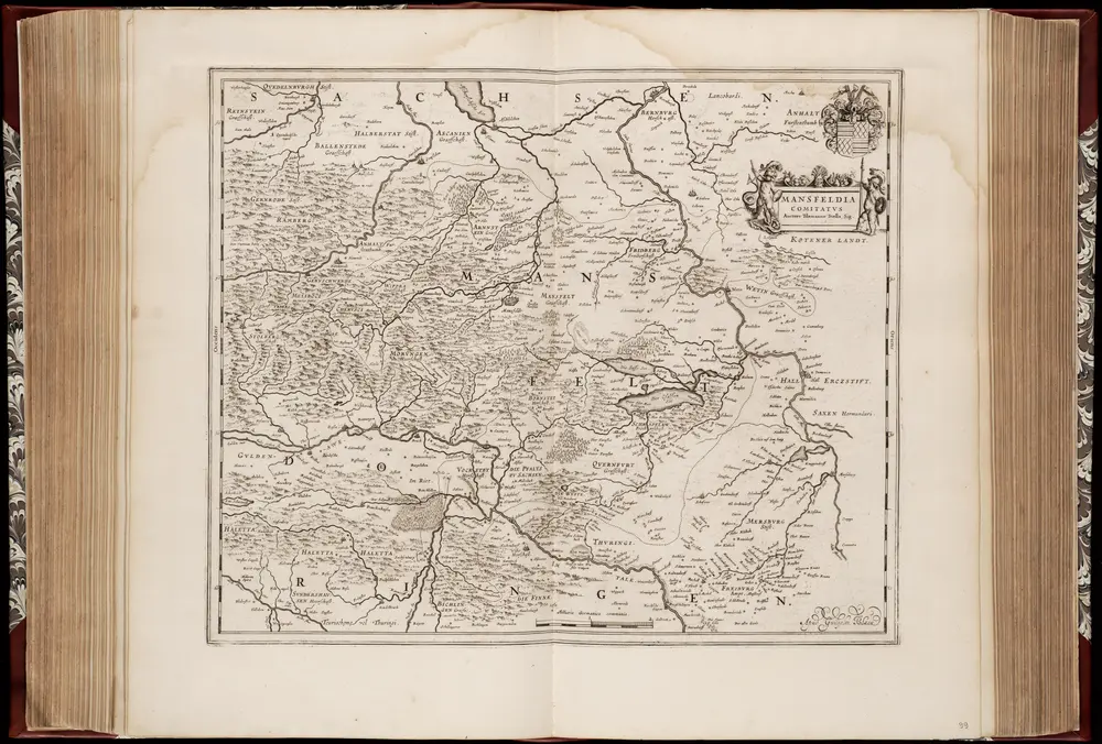
Mansfeldia comitatvs / auctore Tilemanno Stella sig
1635
Tilemann Stella 1525-1589
1:170k