Mapa catalogado
Meßtischblatt 2434 : Hamm, 1914


Título completo:Meßtischblatt 2434 : Hamm, 1914
Año de ilustración:1914
Fecha de publicación:1914
Tamaño físico:20 x 30 cm
Escala del mapa:1:250 000
Meßtischblatt 2435 : Rhynern, 1934
1934
1:250k
Meßtischblatt 2434 : Hamm, 1914
1914
1:250k
Meßtischblatt 2362 : Ahlen, 1927
1927
1:250k
Meßtischblatt 2361 : Drensteinfurt, 1927
1927
1:250k
Meßtischblatt 2361 : Drensteinfurt, 1907
1907
1:250k
Meßtischblatt 2361 : Drensteinfurt, 1894
1894
1:250k
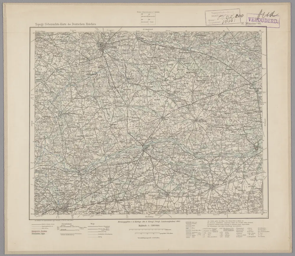
97. Münster i/Wf., uit: Topographische Uebersichtskarte des Deutschen Reiches / herausgegeben v. d. Kartogr. Abt. d. Königl. Preuß. Landesaufnahme
1899
Königlich Preußische Landesaufnahme. Kartographische Abtheilung
1:200k
n/a
1791
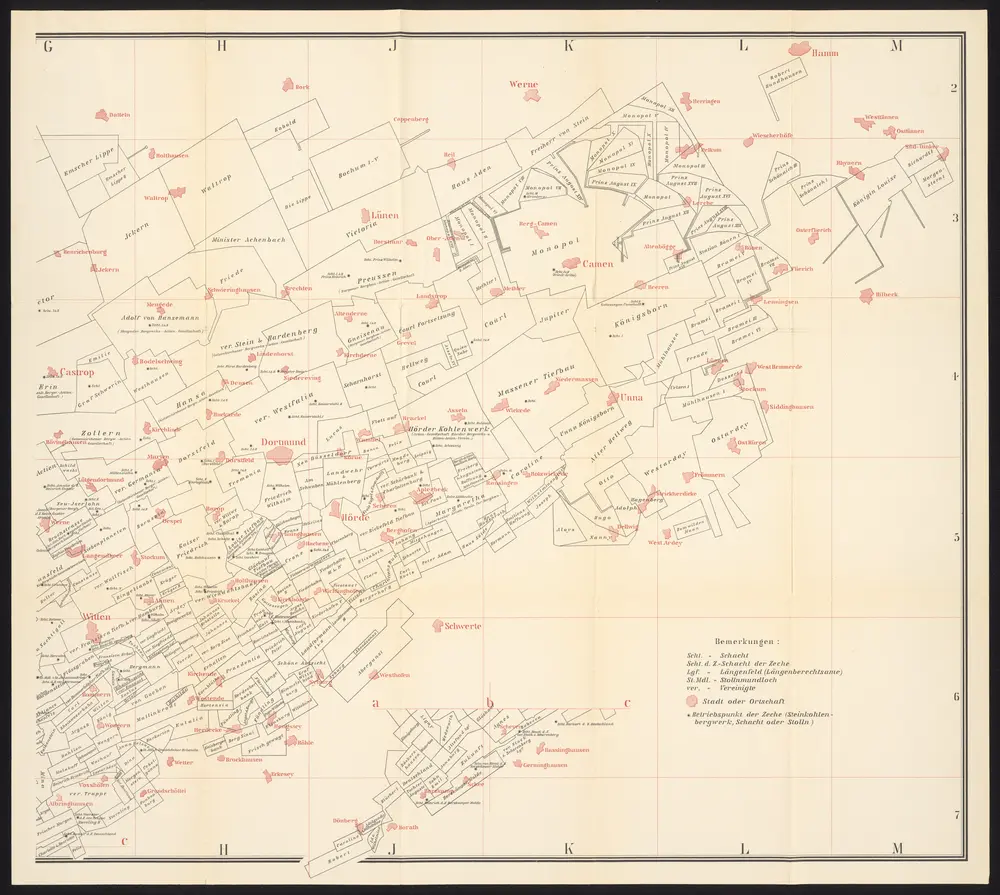
Uebersichts-Karte der Steinkohlenfelder des Rhein-Westfäl. Ruhrkohlenbeckens
1895
G. D. Baedeker
1:63k
Meßtischblatt 2508 : Werl, 1927
1927
1:250k
Meßtischblatt 2508 : Werl, 1897
1897
1:250k