Maps of Herxheim

Maps of Herxheim

$title$

Meßtischblatt 6815 : Herxheim, 1943

1 : 250000 Herxheim. - Aufn. 1909, hrsg. 1912, letzte Nachtr. 1939. - 1:25000. - Wiesbaden: Hauptvermessungsabteilung XI, 1943. - 1 Kt.
$title$

Les environs de Landau

1 Karte : Kupferdruck ; 23 x 33 cm Fer; Inselin Nicolas de Fer
$title$

[Philipsbourg]

1 Blatt : 60 x 91 cm s.n.
$title$

Carte über den Lauf des Rheins von Lauterburg bis unterhalb Sandhofen längs der Badisch - Bayerschen Grenze

$title$

Carte über den Lauf des Rheins von Lauterburg bis unterhalb Sandhofen längs der Badisch - Bayerschen Grenze

$title$

Die Gegend zwischen Landau, Speyer u. Philipsburg

1 : 100000 Mollova mapová sbírka Bodenehr, Gabriel Bodenehr, Gabriel
$title$

Carte des Environs de Landav avec le Camp et l'Attaque De L'Arméé Imperiale qui forme sou Siege en MDCCII

Mollova mapová sbírka
$title$

Plann von Landau

Mollova mapová sbírka
$title$

Geographica Provinciarum Sveviae Descriptio :

Mollova mapová sbírka Hurter, Johann Christoph Küsel, Melchior Bodenehr, Johann Georg
$title$

Geographica Provinciarum Sveviae Descriptio =

Mollova mapová sbírka Hurter, Johann Christoph Bodenehr, Gabriel
$title$

Le cours du Rhin de Bâle à Hert près Philisbourg contenant l'Alsace et partie du Brisgau, 5

1 Blatt : 77 x 52 cm Le Rouge
$title$

Le Flambeau de la Guerre Allumee au Rhin

Mollova mapová sbírka Delisle, Guillaume Schenk, Peter II
$title$

Landau mitt umbliegenden dörfferen und Stätten

1 : 170000 Mollova mapová sbírka Person, Nikolaus Person, Nicolas
$title$

$title$

Der Pfinz und Enz Kreis im Grossherzogthum Baden

1 : 200000 Bádensko (Německo) Krauth Wolff, F. C.F. Müllerschen Buchhandlung
$title$

Accurate Special-Charte der Gegend des Rheins, von Ettlingen, Carls Ruhe, Philippsburg, Bruchsal, bis Mannheim, etc. Entworffen

Riecke, Gustav Friedrich; Ostertag, Heinrich Jonas; Cöntgen, Bartolomäus Anton Brönner
$title$

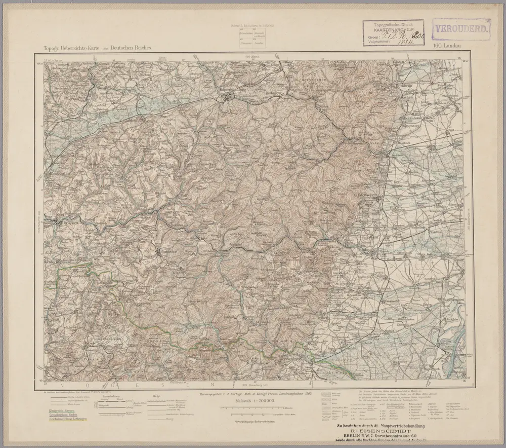
160. Landau, uit: Topographische Uebersichtskarte des Deutschen Reiches / herausgegeben v. d. Kartogr. Abt. d. Königl. Preuß. Landesaufnahme

1 : 200000 titelvariant: Topogr. Übersichtskarte des Deutschen Reiches; Annotatie: Titel boven bladen ook: Topogr. Übersichtskarte des Deutschen Reiches; Annotatie geografische gegevens: Op elk blad twee maatstokken: 10 Kilometer = 5,5 cm; 1 geogr. Meile = 3,6 cm; Legenda onder op elk blad Königlich Preußische Landesaufnahme. Kartographische Abtheilung [S.l : Königlich Preußische Landesaufnahme, Kartographische Abtheilung]
$title$

Alasatia superior et inferior III. tabulis delineata, 3

1 Blatt : 62 x 59 cm s.n.
$title$

Carte Particuliere de Pays qui sont situéz entre le Rhein, la Saare, la Moselle, et la Basse Alsace

1 : 150000 Mollova mapová sbírka Jaillot, Alexis-Hubert Jaillot, Alexis Hubert
$title$

Exact und Gantz accurater Plan

1 : 570000 Mollova mapová sbírka Geyer, Friedrich W. Berndt, Johann Christoph Geyer, Friedrich
$title$

Suevia Universa

1 : 170000 Mollova mapová sbírka Michal, Jacques de Seutter, Matthäus Seutter, Matthäus
$title$

Alsatia inferior

1 Karte : Kupferdruck ; 14 x 22 cm Lambert Andreae
$title$

Partie du Cours du Rhein, ou se Trouvent les Villes de Spire Philipsbourg Landau Hagenau et le Fort Louis, Dessigne et Levee sur les Lieues

1 : 160000 Mollova mapová sbírka Baillieul, Gaspard Bailleul, Gaspard
$title$

Alsatia inferior

1 Karte : Kupferdruck ; 17 x 27 cm Specklin; Quad Johannes Bussemacher
$title$

Carlsruhe - Stuttgart

1 : 200000 Herder, Benjamin
$title$

Carte Particuliere des Pays qui sont situéz entre le Rhein, la Saare, la Moselle, et la Basse Alsace

1 : 150000 Mollova mapová sbírka Mortier, Pieter Mortier, Pierre
$title$

Territorium Seculare Episcopatvs Spirensis una cum terris adiacentibus

1 : 140000 Mollova mapová sbírka Blödtner, Cyriak Homann, Johann Baptista - dědici
$title$

Die untere Markgrafschaft Baaden oder die Grafschaft Eberstein mit den Durlachischen Landen

1 Karte : Kupferdruck ; 18 x 24 cm Reilly F. J. J. von Reilly
$title$

Staaten ahm Rhein, und Necker

1 : 180000 Mollova mapová sbírka Person, Nikolaus Person, Nicolas
$title$

Specialkarte Der Gegenden Zwischen Dem Rhein Und Der Saar

1 : 170000 Rheinwald, Johann Ludwig Christian; Dewarat, Peter; Walbert
© MapTiler © OpenStreetMap contributors
How does it work?
These instructions will show you how to find historical maps online.
Getting started
Type the place name in the search box to find the exact location. You can further adjust the search by zooming in and out.
Zoom
Zoom in and out with the buttons or use your mouse or touchpad natively.
Exact Area tool
Click here and draw a rectangle over the map to precisely define the search area.
Set filters
Narrow your search with advanced settings, such as Years (from/to), Fulltext, Publisher, etc.
Results
See the results of your search on the right side. You can scroll down to find more maps of this location.
?

Download OldMapsOnline Mobile