Mapa catalogado
Meßtischblatt [7327] : Giengen, 1931


Título completo:Meßtischblatt [7327] : Giengen, 1931
Año de ilustración:1931
Fecha de publicación:1931
Tamaño físico:20 x 30 cm
Escala del mapa:1:250 000
Meßtischblatt [7327] : Giengen, 1931
1931
1:250k
Meßtischblatt [7427] : Sontheim a.d. Brenz, 1930
1930
1:250k

Neuer Atlas Uber die Gantze Welt, mapa ze strany: [151]
1714
Homann Johann Baptist
Nova et accurata territorii Vlmensis cum dominio Wainensi descriptio
1715
Lauterbach; Homann
Nova et accurata territorii Vlmensis cum dominio Wainensi descriptio
1715
Lauterbach; Homann
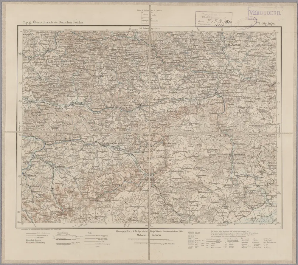
171. Göppingen, uit: Topographische Uebersichtskarte des Deutschen Reiches / herausgegeben v. d. Kartogr. Abt. d. Königl. Preuß. Landesaufnahme
1899
Königlich Preußische Landesaufnahme. Kartographische Abtheilung
1:200k
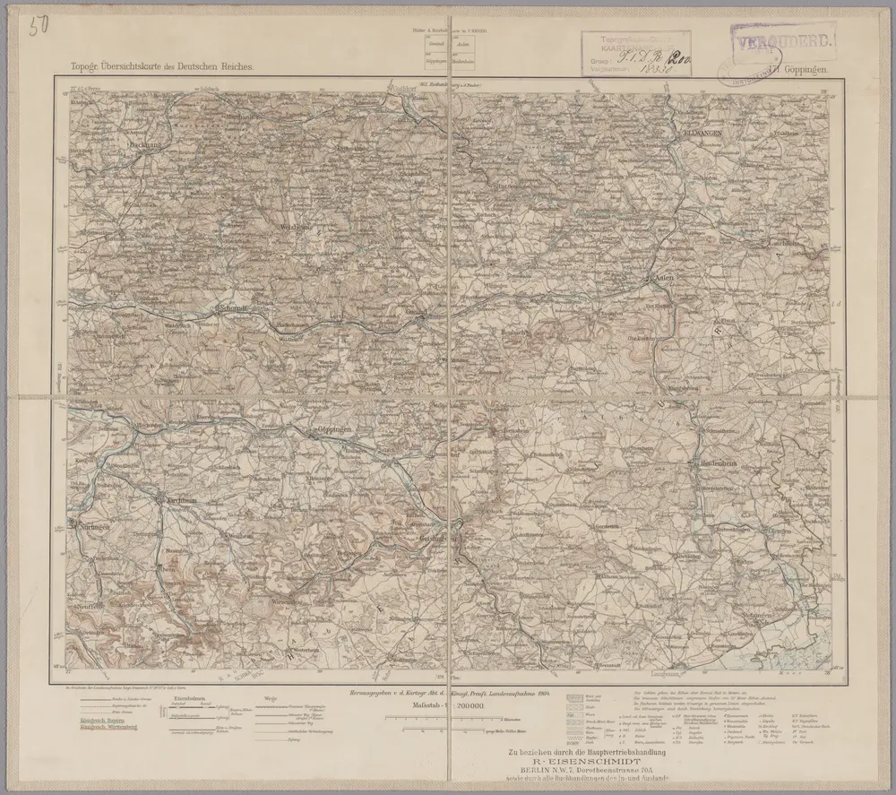
171. Göppingen, uit: Topographische Uebersichtskarte des Deutschen Reiches / herausgegeben v. d. Kartogr. Abt. d. Königl. Preuß. Landesaufnahme
1899
Königlich Preußische Landesaufnahme. Kartographische Abtheilung
1:200k
Neueste Karte von der Markgrafschaft Burgau zu den oesterreichischen Vorlanden in Schwaben gehörig
1790
Probst; Sprengler
Des Herzogthums Würtemberg ostsüdliche Aemter mit der freyen Reichsstadt Giengen : Nro. 189
1791
Reilly, Franz Johann Joseph von
Die gefürstete Probstey Ellwangen
1806
Reilly