Maps of Bucks County
Various Regions and Cities in Pennsylvania.
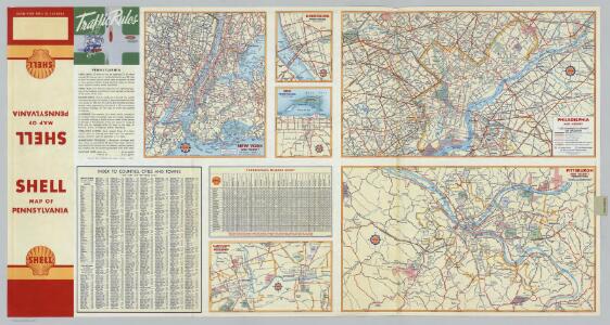
Shell Oil Company
Various Regions and Cities in the Middle Atlantic States.
Shell Oil Company
A New and accurate map of the present seat of war in North America, comprehending New Jersey, Philadelphia, Pensylvania, New-York, &c.
1 : 550000
A mapp of New Jersey in America.
from Charts and maps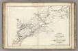
Armees Americaine et Britannique en 1776 et 1777 dans le Maryland.
1 : 450000 Marshall, John
[Map of the vicinity of City Hall, Brooklyn.]
From Brooklyn
Newark
1 : 250000
Newark
1 : 250000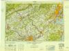
Newark
1 : 250000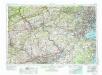
Newark
1 : 250000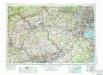
Newark
1 : 250000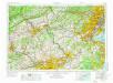
Newark
1 : 250000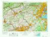
Newark
1 : 250000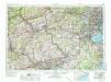
Newark
1 : 250000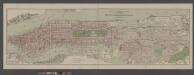
Boroughs of Manhattan and Bronx, showing the electric service of the New York Edison Co.
From Manhattan
Map no. III : [to accompany A bill in the chancery of New-Jersey, at the suit of John, Earl of Stair ... against Benjamin Bond].
from A bill in the chancery of New-Jersey, at the suit of John earl of Stair, and others, proprietors of the eastern-division of New-Jersey; against Benjamin Bond. and some other persons of Elizabeth-Town, distinguished by the name of the Clinker lot right men. With three large maps, done from copper-plates. To which is added; the publications of the Council of proprietors of East New-Jersey, and Mr. Nevill's speeches to the General assembly, concerning the riots committed in New-Jersey, and the pretences of the rioters, and their seducers. These papers will give a better light into the history and constitution of New-Jersey, than any thing hitherto published, the matters whereof have been chiefly collected from records. Published by subscription: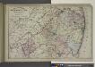
Topographical Map of Monmouth Co., New Jersey.
from Atlas of Monmouth co., New Jersey. From recent and actual surveys and records, under the superintendence of F.W. Beers.
General map of the city of New York, consisting of boroughs of Manhattan, Brooklyn, Bronx, Queens and Richmond : consolidated into one municipality by act of the legislature of the state of New York (Chapter 378 of the laws of 1897) : showing in addit...
From Whole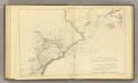
Country from Rariton River in East Jersey to Elk Head in Maryland.
1 : 500000 Marshall, John
A plan of the northern part of New Jersey : shewing the positions of the American and British armies after crossing the North River in 1776 / drawn by S. Lewis from surveys by order of Gen. Washington ; engrav'd by Fs. Shallus.
from Revolutionary War, 1775-1783
Septentrionale du New Jersey, et Positions des Armees Americaine et Britannique en 1776.
1 : 300000 Marshall, John
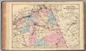
Delaware, Montgomery, Bucks counties.
1 : 300000 Gray, Ormando Willis; Walling, H. F.
Northern Part of New Jersey, shewing the the American and British Armies after crossing the North River in 1776.
1 : 290000 Marshall, John
Map of New-York and its vicinity /drawn by D.H. Burr, geographer ; engraved by S. Stiles, Sherman & Smith.
from New York harbor
Line of the Morris Canal, New Jersey, 1827 / Desobry fecit.
from Cities and towns
Trenton
1 : 100000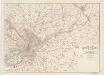
Map of the country around Philadelphia : with the good roads specially marked
1 : 63360 Smith, J. L Published by J. L. Smith
Plan of the operations of General Washington against the Kings troops in New Jersey : from the 26th of December, 1776, to the 3d January, 1777 / by William Faden.
from Cartographic materials from the Emmet Collection of Manuscripts Etc. Relating to American History.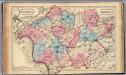
Hunterdon, Somerset Cos., N.J.
1 : 126720 Beers, F. W. (Frederick W.)