Maps of Athens
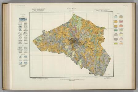
Clarke County, Georgia, Soils. Atlas of American Agriculture.
1 : 63360 Hearn, W. Edward.
Athens West
1 : 24000
Athens East
1 : 24000
Athens West
1 : 24000
Athens West
1 : 24000
Athens West
1 : 24000
Athens West
1 : 24000
Athens West
1 : 24000
Athens East
1 : 24000
Athens East
1 : 24000
Athens East
1 : 24000
Statham
1 : 24000
Statham
1 : 24000
Statham
1 : 24000
Nicholson
1 : 24000
Nicholson
1 : 24000
Hull
1 : 24000
Hull
1 : 24000
Watkinsville
1 : 24000
Barnett Shoals
1 : 24000
Barnett Shoals
1 : 24000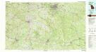
Athens
1 : 100000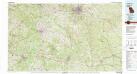
Athens
1 : 100000
Jefferson
1 : 24000
High Shoals
1 : 24000
High Shoals
1 : 24000
Crawford
1 : 24000
Crawford
1 : 24000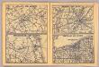
Atlanta, Jacksonville, Memphis, Cleveland.
Rand McNally and Company