Maps of France

France.
1 : 3350000 Mitchell, Samuel Augustus
France.
1 : 3350000 Mitchell, Samuel Augustus
France.
1 : 3350000 Mitchell, Samuel Augustus Jr.
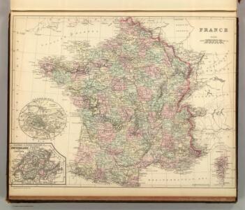
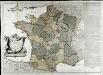
France, departments.
1 : 10000000 Fenner, Rest.
France, provinces.
1 : 10000000 Fenner, Rest.
France.
1 : 5000000 Moll, Herman, d. 1732
Frankreich von 1180 bis 1461, Zeitraum der Albigenser- und englischen Kriege.
1 : 3800000 Spruner von Merz, Karl
Confins (de la France)
1 : 2900000 Dangeau, abbe de, 1643-1723
Confins (de la France - outline)
1 : 2900000 Dangeau, abbe de, 1643-1723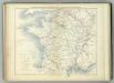
Communications Rapie du Territoire Francais.
Jouvet et Cie.
Frankreich von 1461 bis 1610.
1 : 3800000 Spruner von Merz, Karl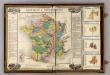
France Provinces & Departments.
1 : 5040000 French Geographical Game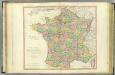
France.
1 : 1950000 Faden, William, 1750?-1836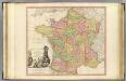
France.
1 : 1950000 Faden, William, 1750?-1836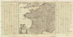
Accuratissima Galliae tabula vulgo royaume de France
1 : 2400000 Francie Danckerts, Justus I. Danckerts
France.
1 : 5000000 Carey, Mathew
France.
1 : 4900000 Carey, Mathew
Die Reiche der Franken in Gallien unter den Merovingern.
1 : 3800000 Spruner von Merz, Karl
Regnum Galliae moderna
1 : 8760000 Francie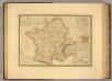
Gaule.
1 : 3300000 Picquet, C.
Jak vzniká mapa
La France
1 Karte auf 2 Blättern : Kupferdruck ; 70 x 81 cm Janvier; Lattré; Arrivet chez Lattré graveur ruë St. Jacques près la fontaine S. Severin à la ville de Bordeaux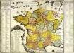
La France
1 Karte : Kupferdruck ; 48 x 49 cm Fer; Danet chez le Sr. Danet gendre de l'auteur sur le Pont N. Dame a la sphere royale
La France divisée en provinces et en généralités, dont le plan est celui de l'ancienne Gaul
1 : 2500000
France
A new general atlas of modern geography, consisting of a complete collection of maps of the four quarters of the globe Wyld, James James Wyld
Frankreich
1 : 3300000 Francie Mollo, Tranquillo Tranquillo Mollo
Frankreich
1 : 3220000 Francie Mollo, Tranquillo Tranquillo Mollo
Frankreich's aeltere kirchliche Eintheilung bus zum Jahre 1322.
1 : 3800000 Spruner von Merz, Karl
La nouvelle France : paix du 28 juin 1919 / par F. Schrader, F. Prudent et E. Anthoine
1 : 1750000 Annotatie: Linksboven: Extrait de l'Atlas de géographie moderne Schrader, F.; Prudent, F.; Anthoine, E. Paris : Hachette