Project
Community
News
My maps
Mapa catalogado
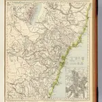
New South Wales.
Título completo:
New South Wales.
Editorial:
Letts, Son & Co.
Tamaño físico:
20 x 30 cm
Escala del mapa:
1:1 774 080
Historia