Maps of Missouri
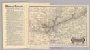
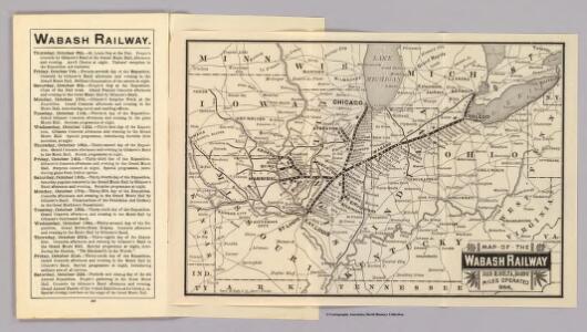
Map Wabash Railway.
1 : 6623200 Wabash Railway Company
Western States.
1 : 3200000 Mitchell, Samuel Augustus
Map of the Western States.
1 : 3200000 Mitchell, Samuel Augustus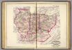
Ind., Ill., Mo., Ohio, Ky, Tenn.
1 : 2100000 Asher, Adams & Higgins; Higgins & Ryan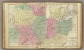
Western U.S.
1 : 3000000 Cornell, S. S. (Sarah S.)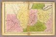
Western States.
1 : 3000000 Huntington, Francis Junius, 1802-1878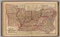
Delaware, Illinois, Indiana, Iowa ... North Carolina ... Tennessee, Virginia.
1 : 3000000 Lloyd, H.H.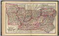
Delaware, Illinois, Indiana, Iowa ... North Carolina ... Tennessee, Virginia.
1 : 3000000 Walling, H. F.
Guide through Ohio, Michigan, Indiana, Illinois, Missouri, Wisconsin & Iowa : showing the township lines of the United States Surveys, location of cities, towns, villages, post hamlets, canals, rail and stage roads / by J. Calvin Smith ; engr. by S. Stiles, Sherman & Smith
1 : 2200000 Annotatie: Gerestaureerd en op Japans papier geplakt; Met statistische gegevens m.b.t. bevolking, landbouw en veeteelt, industrie en openbare financiën J. Calvin Smith; S. Stiles, Sherman & Smith New York, [N.Y.] : J.H. Colton & Co.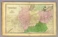
Western States.
1 : 3000000 Olney, J. (Jesse), 1798-1872
The Western Parts of Virginia, Pennsylvania, Maryland and North Carolina.
1 : 1140480 Hutchins, Thomas
Western states, territories.
1 : 6400000 Grigg, John
Western States.
1 : 6400000 Adams, Daniel
Western States, United States.
Goodrich, S.G.
County map of the State of Illinois ; Plan of Chicago [inset].
from New general atlas.
151. Centers farm, agricultural products, population, manufactures.
1 : 7000000 Gannett, Henry, 1846-1914; United States. Census Office
126. Centers of population, farms, agricultural products, manufactures 1790-1900.
1 : 7000000 Gannett, Henry, 1846-1914; United States. Census Office
Map of the Back Settlements.
1 : 6336000 Morse, Jedidiah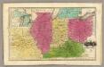
Western States. (with) inset map of Upper Michigan.
1 : 3000000 Smiley, Thomas T.
County map of Ohio and Indiana.
from New general atlas.
Upper Territories of the United States.
1 : 2060000 Carey, Mathew
Upper Territories of the United States.
1 : 3700000 Carey, Mathew
Ohio, Indiana, Illinois, Michigan.
1 : 2063000 Finley, Anthony
Western States.
1 : 4200000 Huntington, Nathaniel G. (Nathaniel Gilbert), 1785-1848
Map Pittsburgh & Western Railway Co.
1 : 5844000 Pittsburgh & Western Railway Company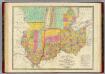
Map of the States Of Ohio Indiana & Illinois And Part Of Michigan Territory.
1 : 2000000 Finley, Anthony
Ohio, Indiana, Kentucky, and Tennessee.
1 : 3651000 Fisher, Richard Swainson
N. W. Territory.
1 : 8236800 Carey, Mathew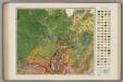
Soil Map of the United States, Section 7. Atlas of American Agriculture.
1 : 2500000 Marbut, Curtis F.