Maps of New Brunswick
Quebec.
Rand McNally and Company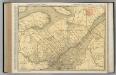
Quebec.
1 : 1204000 Rand McNally and Company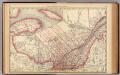
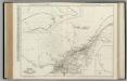
Quebec.
1 : 1835000 Rand McNally and Company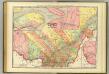
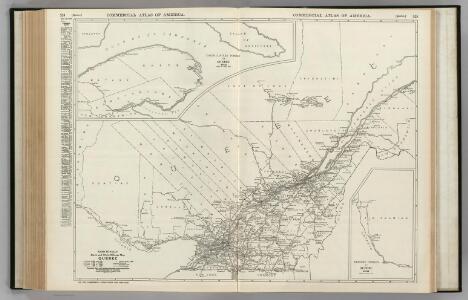
Quebec.
1 : 1180000 Rand McNally and Company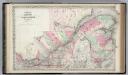
Canada East or Lower Canada and New Brunswick.
1 : 1550000 Colton, G.W.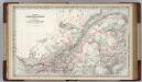
Canada. Quebec & New Brunswick.
1 : 1550000 Colton, G.W.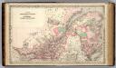
Dominion of Canada. Provinces of Quebec and New Brunswick.
1 : 1550000 Colton, G.W.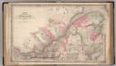
Canada East or Lower Canada and New Brunswick.
1 : 1550000 Colton, G.W.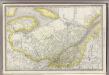
Quebec.
1 : 1850000 Rand McNally and Company
New Brunswick and Quebec.
1 : 1580000 Johnson, A.J.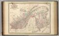
New Brunswick and Quebec.
1 : 1580000 Johnson, A.J.
East Canada And New Brunswick.
1 : 2597760 Tallis, J. & F.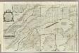
An exact chart of the River St. Laurence.
1 : 695000 Jefferys, Thomas
Lower Canada.
1 : 1950000 Colton, G.W.
Lower Canada And New Brunswick ... Upper Canada.
1 : 2027520 Johnson, A.J.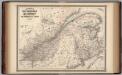
New Brunswick and Quebec.
1 : 1580000 Johnson, A.J.
Canada East Or Lower Canada And New Brunswick.
1 : 2027520 Colton, G.W.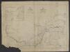
Carte de la Province de Québec, Canada ; pour accompagner la brochure intitulée "La Province de Québec et l'Émigration européenne" = Map of the province of Quebec, Canada ; to accompany the pamphlet entitled "the province of Quebec and european emigration"
1 : 2000000 Québec (province). Département des terres de la Couronne Québec : Département des terres de la Couronne
Map of the boundary lines between the United States and the adjacent British provinces : from the mouth of the river St. Croix to the intersections of the parallel of 45 degrees of north latitude with the river St. Lawrence near St. Regis, shewing the lines as respectively claimed by the United States and Great Britain under the Treaty of 1783, as awarded by the King of the Netherlands, and as settled in 1842 by the Treaty of Washington
1 : 1020000 Lee, Thomas Jefferson, 1808-1891 United States House of Representatives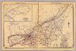
Quebec.
1 : 1300000 Rand McNally and Company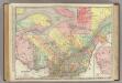
Quebec.
1 : 1204000 Rand McNally and Company
Lower Canada And New Brunswick.
1 : 2217600 Goodrich, S.G.
Lower Canada and New Brunswick.
1 : 2217600 Bradford, Thomas G.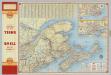
Shell Maritime Provinces.
1 : 2090880 Shell Oil Company
Canada 2.
1 : 1774080 Letts, Son & Co.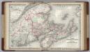
Canada. New Brunswick, Nova Scotia and Prince Edward island.
1 : 1500000 Colton, G.W.
The district of Main : from the latest surveys
1 : 2900000 Carleton, Osgood, 1742-1816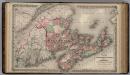
Dominion of Canada. Provinces of New Brunswick & Nova Scotia and Prince Edward Island.
1 : 1550000 Colton, G.W.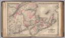
New Brunswick, Nova Scotia, Prince Edward Island, and Cape Breton Inland.
1 : 1500000 Colton, G.W.