Maps of Kansas

Kansas.
1 : 1290000 Asher & Adams
Kansas.
1 : 1267200 Asher & Adams
Shell Highway Map of Kansas.
1 : 1077120 Shell Oil Company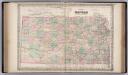
Kansas.
1 : 1140000 Colton, G.W.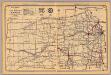
Kansas.
1 : 1600000 Rand McNally and Company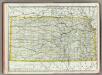
Kansas.
1 : 1010000 Rand McNally and Company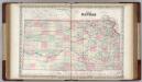
Kansas.
1 : 1140000 Colton, G.W.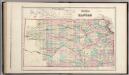
Kansas.
1 : 1159000 Gray, Ormando Willis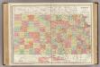
Kansas.
1 : 1014000 Rand McNally and Company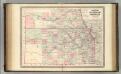
Kansas and Nebraska.
1 : 1370000 Johnson, A.J.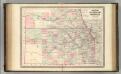
Kansas and Nebraska.
1 : 1370000 Johnson, A.J.
Kansas.
1 : 2000000 Cram, George Franklin; Davis, Ellis Arthur
Kansas.
1 : 1159000 Colton, G. Woolworth
Kansas.
1 : 1100000 Colton, G.W.
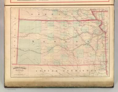
County & township map of the states of Kansas and Nebraska.
1 : 1900000 Mitchell, Samuel Augustus Jr.
Kansas.
Rand McNally and Company
Kansas.
1 : 1547000 Hammond, C.S.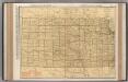
Kansas.
1 : 1014000 Rand McNally and Company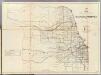
Kansas, Nebraska.
1 : 1170000 U.S. General Land Office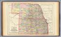
Kansas, Nebraska.
1 : 1850000 Mitchell, Samuel Augustus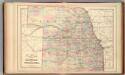
Kansas, Nebraska.
1 : 1850000 Mitchell, Samuel Augustus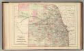
Kansas, Nebraska.
1 : 1850000 Mitchell, Samuel Augustus Jr.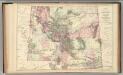
Montana, Idaho, and Wyoming.
1 : 2600000 Mitchell, Samuel Augustus Jr.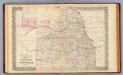
Kansas, Nebraska.
1 : 1850000 Mitchell, Samuel Augustus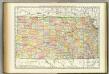
Kansas.
1 : 1030000 Rand McNally and Company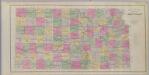
Official topographical map of Kansas.
1 : 950400 L.H. Everts & Co.
From mouth of Trap Creek to Santa Fe Crossing.
1 : 760320 Gunnison, J.W.
Post route map of the states of Kansas and Nebraska : showing post offices with the intermediate distances and mail routes in operation on the 1st of December, 1900 / published by order of Postmaster General Charles Emory Smith under the direction of ...
From Parts
Kansas.
1 : 1330560 Cram Atlas Company