Maps of Belgium

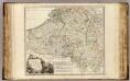
Netherlands.
1 : 1650000 Bowen, Frances
Belgien, Luxemburg.
1 : 1000000 Andree, Richard
Belgique. Carte oro-hydrographique 1:500 000 = België oro-hydrografische kaart 1:500 000
1 : 500000 Ghellinck, A . de Turnhout : Brepols
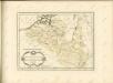
Netherlands.
1 : 1670000 Seaman, James V.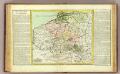
Pay-Bas Autrichiens.
1 : 1020000 Clouet, J. B. L. (Jean-Baptiste Louis), b. 1730
(Les Pays-Bas autrichiens & francois)
1 : 5200000 Bruyset, Jean-Marie; Schneider, J. H.
Austrian French and Dutch Netherlands.
1 : 1030000 Carey, Mathew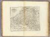
Austrian French and Dutch Netherlands.
1 : 1020000 Carey, Mathew
Austrian French and Dutch Netherlands.
1 : 1020000 Carey, Mathew
Provinces des Pais Bas
1 : 800000 Mollova mapová sbírka Fer, Nicolas de Starckman, P. Fer, Nicolas de
Carte des Pais Bas Catholiqves ou des X Provinces de l'Allemagne Inferieure etc. dessinée au juste selon les exactes observations Astronimiques et Operations Geometriques des Mess. Cassini. Snelius. Muschenbrok etc. dresée par Sr. Tobias Maier. Mathematicien
1 : 725000 Mollova mapová sbírka Mayer, Tobias Homann, Johann Baptista - dědici
Nieuwe kaart van de tien verdeelde Nederlanden
1 : 1700000 [S.l.] : [s.n.]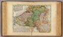
Flanders or the Austrian Netherlands.
1 : 1400000 Moll, Herman, d. 1732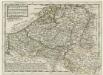
Flanders or the Austrian Netherlands
1 : 1400000 Mollova mapová sbírka Moll, Herman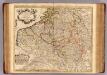
Pays Bas Catholoques.
1 : 700000 L'Isle, Guillaume de, 1675-1726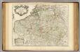
Pays Bas Catholoques.
1 : 700000 L'Isle, Guillaume de, 1675-1726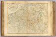
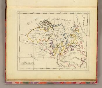
Seat of war Netherlands.
1 : 630000 Robert Laurie & James Whittle
The theatre of the present war in the Netherlands : being an improvement of a large map of the Low Countries by Mr. La Rouge : with the addition of the adjacent parts of England, Germany and the United Provinces
1 : 350000 Annotatie: Met plaatsnamenregister (met coördinaten en afstanden t.o.v. Londen, Parijs en Den Haag) London : printed for R. Wilkinson ... and Bowles & Carver
Der Burgundische Kreis oder die Oestreichischen Niederlande
1 : 1370000 Burgundsko (Francie)
Belgium Catholicum seu Decem Provinciae Germaniae Inferioris...

Circvlvs Bvrgundicvs
1 : 2700000 Mollova mapová sbírka Franz, Johann Michael Homann, Johann Baptista - dědici
Nieuwe en naukeurige kaart der tien catholijke Nederlanden, uit de beste autheuren en beroemste heedendaagsche kaarten opgemaakt, en volgens sterekundige waarnemingen in orde gebragt
1 : 850000 door Eman. Bowen verb. door W.A. Bachiene ; J. v. Jagen fecit, 1775 [Amsterdam] : [Matthijs Schalekamp]
Circvlvs Bvrgvndicvs
1 : 732700 Belgie Mayer, Tobias Cassini de Thury Homannianis heredib.
Belgivm catholicvm seu Decem provinciae Germaniae inferioris
1 : 732700 Belgie Mayer, Tobias Cassini de Thury Homannianis heredib.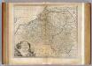
Netherlands or Low Countries.
1 : 980000 Bowen, Emanuel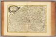
Pays Bas meridionale.
1 : 970000 Janvier, Jean
Carte des Paysbas Catholiques
1 : 700000 Mollova mapová sbírka Delisle, Guillaume L'Isle, Guillaume de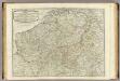
The Catholic Netherlands.
1 : 630000 Kitchin, Thomas