Maps of United States

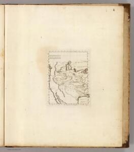
Louisiana.
1 : 23500000 Carey, Mathew
Facsimile: Walch's North America (portion).
1 : 13000000 Walch, Joh.
Vereinigte Staaten
1 : 18500000 Severní Amerika Biller, Franz
Louisiana.
1 : 21000000 Lewis, Samuel
Louisiana.
1 : 21000000 Lewis, Samuel
North America, 1782.
1 : 28000000 Jefferys, Thomas
Carte De La Cote De L'Amerique.
1 : 5555555 Duflot de Mofras, Eugene
United States of America.
1 : 22000000 Colton, G.W.
A New Map of The States Of Texas & California
1 : 6652800 Mitchell, Samuel Augustus
A New Map of Texas Oregon and California With The Regions Adjoining.
1 : 6652800 Mitchell, Samuel Augustus
United States.
1 : 21000000 Grigg, John
A New Map of Texas Oregon and California With The Regions Adjoining.
1 : 6652800 Mitchell, Samuel Augustus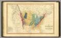
Geol. map US.
1 : 15000000 Simpkin & Marshall
Etats-Unis d'Amerique.
1 : 9300000 Lapie, M. (Pierre), 1779-1850
127-28. Stati Uniti.
1 : 10000000 Touring club italiano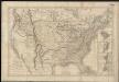
Carte générale des États-Unis de l'Amérique avec les plans des principales villes
1 : 7500000
[Neuer Atlas der ganzen Erde nach den neuesten Bestimmungen ... : XXIV.] Charte von dem Nordamericanischen Staatenbunde
Entworfen und gezeichnet von F.W. Streit H. Leutemann sc. Leipzig : J.C. Hinrichs'sche Buchhandlung

Etats-Unis de l'Amerique en 1860.
1 : 12000000 Garnier, F. A., 1803-1863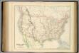
United States.
1 : 9504000 Fullarton, A. & Co.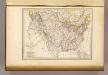
Etats-Unis d'Amerique, 1835.
1 : 16200000 Malte-Brun, Conrad, 1775-1826
Composite: U.S. West of Mississippi R.
1 : 2000000 Freyhold, Edward; Warren, Gouverneur Kemble, 1830-1882; United States. Army. Corps of Engineers
Map of the United States, constructed from the latest authorities / J.H. Young, sc.
from Whole
A new map of the United States of America
1 : 8750000 Facsimile. "The United States in 1856 as reproduced by Rand McNally & Company to commemorate its one hundredth anniversary in 1956." Relief shown by hachures. Shows railroad routes proposed to the Pacific Ocean. Includes insets: Gold region of California and District of Columbia. Longitude on top of map "West from Greenwich;" on bottom "East/West from Washington." Printed with ornamental border. "Entered according to Act of Congress in the year 1856 by Charles Desilver, in the Clerks office of the District court of the Eastern District of Pennsylvania." Screen reader support enabled. Young, J. H. (James Hamilton) Philadelphia : Published by Charles Desilver, 1856. ([Chicago] : Rand Mcnally 1956)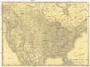
Rand McNally new official railroad map of the United States and southern Canada
1 : 5258880 Kanada Rand McNally
Ornamental Map Of The United States & Mexico.
1 : 13000000 Ensigns & Thayer
Hammond's comprehensive map of the United States with portions of Canada and Mexico
1 : 5000000 C.S. Hammond & Company C.S. Hammond & Company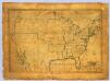
United States.
1 : 7700000 Symonds, Maria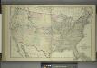
Map of the United States and Territories
from Combination atlas map of Broome County, New York; / compiled, drawn and published from personal examinations and surveys by Everts, Ensign & Everts.