Project
Community
News
My maps
Mappa catalogata
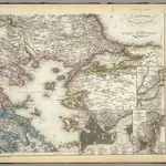
Europ. Turkey IV.
Titolo completo:
Europ. Turkey IV.
Editore:
Bibliographischen Instituts
Dimensione fisica:
20 x 30 cm
Scala della mappa:
1:1 740 000
La storia