Project
Community
News
My maps
Cataloged map
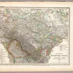
Gotha Herzogthum.
Full title:
Gotha Herzogthum.
Publisher:
Bibliographischen Instituts
Physical Size:
20 x 30 cm
Map scale:
1:200 000
History