Project
Community
News
My maps
Cataloged map
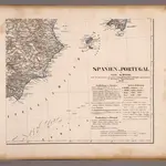
Spanien SO.
Full title:
Spanien SO.
Publisher:
C. Flemming
Map scale:
1:1 800 000
History