Maps of West Indies
West Indies.
1 : 16000000 Seaman, James V.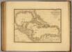
Iles Antilles, Etats-Unis de l'Amerique Centrale, Mer du Mexique.
1 : 8000000 Picquet, C.
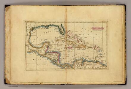
Chart of the West Indies.
1 : 11750000 Carey, Mathew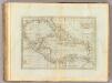
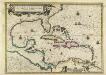
Chart of the West Indies.
1 : 11750000 Carey, Mathew
Chart of the West Indies.
1 : 11000000 Carey, Mathew
Chart of the West Indies.
1 : 11750000 Carey, Mathew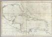
A new general chart of the West Indies.
1 : 4500000 Norman, William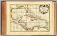
Golfe du Mexique.
1 : 10000000 Rizzi Zannoni, Giovanni Antonio Bartolomeo, 1736-1814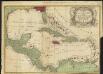
A new & accurate map of the West Indies and the adjacent parts of North & South America
1 : 10500000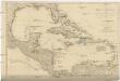
A COMPLEAT MAP OF THE WEST INDIES
1 : 9000000 Florida Dunn, Samuel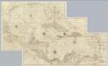
Composite: West Indies.
1 : 1560000 Jefferys, Thomas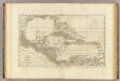
An index map to ...a compleat chart of the West Indies.
1 : 7800000 Jefferys, Thomas
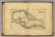
West India Islands.
1 : 14500000 Darton, William
Insulae Americanae, nempe Cuba, Hispaniola Iamaica, Pto. Rico, Lucania, Antillae vulgo Caribae, Barlo-Et Sotto-Vento etc
1 : 6500000 Danckerts, Cornelis, 1664-1717 C. Danckerts, Cum Privilegio
Carte Particuliere des Antilles du Golfe du Mexique avec l'Isthme de Panama.
1 : 12700000 Vivien de St Martin, L.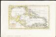
Indie Occidentali
1 : 15000000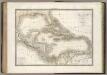
Antilles.
1 : 7700000 Lapie, M. (Pierre), 1779-1850
West Indies.
1 : 16000000 Bowen, Frances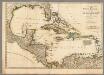
A Compleat Map of the West Indies.
1 : 9000000 Robert Sayer and John Bennett (Firm)
[Central-Amerika und Westindien]
Geographischer Atlas über alle Theile der Erde Ziegler, Jakob Melchior Verlag von Dietrich Reimer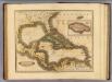
West India Islands.
1 : 13400000 Lizars, Daniel
Mappa Geographica, complectens I. Indiae Occidentalis Partem Mediam Circum Isthmum Panamensem II. Ipsumq[ue] Isthmum III. Ichnographiam praecipuorum locorum & portuum ad has terras pertinentium
Insulae Americanae in Oceano Septentrionali cum Terris adiacentibus
This is a map by Dutch mapmaker Joannes Janssonius published from 1636 in later editions of Gerhard Mercator's celebrated atlas. It is basically a chart rather than a map complete with rhumb lines (for sailing directions) and place names written at right angles to the coast as in early manuscript sea charts. The outline colouring does not accurately reflect the colonising powers but is mainly for decoration. It is partly based on a similar map by rival Dutch mapmaker Joannes Blaeu. Janssonius, Joannes. Cartographer.
Carte du Golfe du Mexique et des Isles Antilles
1 : 10168000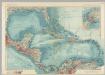
Central America and the West Indies. Pergamon World Atlas.
1 : 7500000 Polish Army Topography Service
West Indies.
1 : 12500000 Carey, Mathew
Chart of the West Indies.
1 : 11750000 Carey, Mathew
Teatre de la guerre en Amerique telle que'elle est a present possedee par les Espagnols, Anglois, Francois, et Hollandois &c. : nouvellement mis au jour
1 : 5533975
Antilles, du Golfe de Mexique, et du Guatemala.
1 : 14000000 Malte-Brun, Conrad, 1775-1826