Maps of Europe
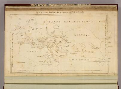
Map of the World According to Strabo.
1 : 32500000 Playfair, Principal
Starý svět až po časy Daria
Asie západní kamenopisní [sic] ústav Jos. Jelínka
Empire de la Porte ottomane en Europe, en Asie et en Afrique avec les pays qui lui sont tributaires
1 : 9000000 Lotter Family (Augsburg, Germany) Frères Lotter
Orbis terrarum post proelium Corupediense 282-220 a. Ch.
1 : 2450000 Menke, Th.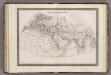
Monde Connu des Anciens.
1 : 34000000 Monin, C.V.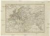
Geographie des Mittel Alters
1 : 36360000 Afrika severní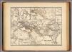
Orbis terrarum regni Persici tempore.
1 : 25000000 Menke, Th.
Orbis terrarum verteribus notus usque ad annum 500 a. Chr.
Alte Welt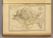
Geographie du Moyen Age.
1 : 35000000 Malte-Brun, Conrad, 1775-1826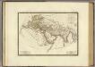
Monde connu des anciens.
1 : 25000000 Brue, Adrien Hubert, 1786-1832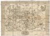
Universal-Historie auf der Land-Karten
Afrika severní Ehmann, Andreas

Ptolemeisch general Tafel
1 : 65000000 1 Karte : Holzschnitt ; 31 x 36 cm Ptolemaeus, Claudius [Sebastian Münster]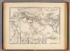
Orbis terrarum regni Assyrii tempore.
1 : 24500000 Menke, Th.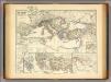
Mare internum cum populis adiacentibus a bello Hannibalico usque ad Mithridatis M. tempus.
1 : 12000000 Menke, Th.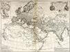
Orbis veteribus notus
1 Karte : Kupferdruck ; 49 x 66 cm Anville; Santini apud Franciscum Santini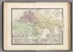
Monde Connu des Anciens.
Levasseur, E.
Die Kaspi-Volga-Weißmeer/Ostseeroute im 17. Jahrhundert
Russland Handelsstraße
Carte des nouvelles decouvertes au nord de la mer du Sud
1 Karte : Kupferdruck ; 37 x 62 cm Santini; Remondini chez François Santini rue S.te Justine près de l'eglise, chez M. Remondini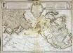
Carte des nouvelles découvertes au nord de la mer du Sud
1 Karte : Kupferdruck ; 37 x 62 cm Delisle; L'Isle; Buache s.n.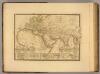
Monde connu des anciens.
1 : 25000000 Picquet, C.
Asia Antiqua.
1 : 64000000 Fenner, Rest.
Terra Veteribus Nota.
1 : 47000000 Finley, Anthony
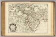
Carte mar.ne d'une partie de l'Europe, de l'Asie et de l'Afrique
1 Karte : Kupferdruck ; 41 x 49 cm Königliche Akademie der Wissenschaften
Historische Weltkarte
Afrika severní Pařízek, Aleš Vincenc Niederhofer, Ondřej
Historische Weltkarte
Afrika severní Pařízek, Aleš Vincenc Niederhofer, Ondřej
Orbis terrarum notus usque ad Alexandri Magni tempora
Asie jihozápadní Spruner, Karl von Behrens, W. Justus Perthes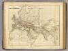
Orbis Veteribus Notus.
1 : 24000000 Arrowsmith, John
Europa zur Zeit Karls des Grossen
Europa Karl I., Heiliges Römisches Reich, Kaiser