Maps of Fairview
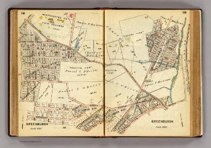
118-119 Greenburgh.
1 : 7200 G.W. Bromley & Co.
24-25 White Plains.
1 : 3600 G.W. Bromley & Co.
112-113 Greenburg, Greenburgh.
1 : 7200 G.W. Bromley & Co.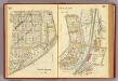
22-23 White Plains.
1 : 3600 G.W. Bromley & Co.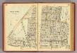
20-21 White Plains.
1 : 3600 G.W. Bromley & Co.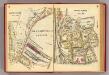
4-5 White Plains.
1 : 3600 G.W. Bromley & Co.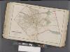
Westchester, Double Page Plate No. 18 [Map bounded by Greenburg, North Castle, Harrison, White Plains] / prepared under the direction of Joseph R. Bien, from general surveys and official records.
From Atlas of Westchester County, New York
Plate 71: White Plains, Westchester Co. N.Y.
from County atlas of Westchester, New York. Published by J.B. Beers & Co., assisted by S.W. Wilson and others.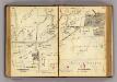
116-117 Greenburgh.
1 : 7200 G.W. Bromley & Co.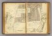
114-115 Greenburgh.
1 : 7200 G.W. Bromley & Co.
1 White Plains.
1 : 3600 G.W. Bromley & Co.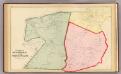
Scarsdale, White Plains.
1 : 14400 Bromley, George Washington; Bromley, Walter Scott; G.W. Bromley & Co.
White Plains, Scarsdale towns.
1 : 31680 Beers, F. W. (Frederick W.)
Town of Greenburgh, Westchester County, New York.
1 : 42240 Beers, Frederick W.
5 Greenburg.
1 : 18000 Hyde & Company
Greenburgh, Westchester County, New York.
1 : 42240 Beers, Frederick W.
Greenburg town.
1 : 21120 Bien, Joseph Rudolf
White Plains
1 : 24000
White Plains
1 : 24000
White Plains
1 : 24000
White Plains
1 : 24000
White Plains
1 : 24000
White Plains
1 : 24000
White Plains
1 : 31680
White Plains
1 : 31680
White Plains
1 : 24000
Town of Greenburgh, Westchester County, New York.
1 : 42240 Beers, Frederick W.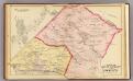
Mt. Pleasant, Ossining.
1 : 24000 Bromley, George Washington; Bromley, Walter Scott; G.W. Bromley & Co.
6 Atlas rural country district north of New York City.
1 : 15000 Hyde, E. Belcher