Project
Community
News
My maps
Cataloged map
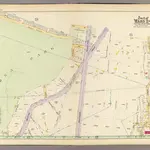
19, ward 24.
Full title:
19, ward 24.
Publisher:
G.W. Bromley and Co.
Map scale:
1:1 800
History