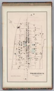
Maps of Woodstock

Woodstock, Virginia.
1 : 2400 Gray, Ormando Willis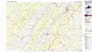
Front Royal
1 : 100000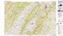
Front Royal
1 : 100000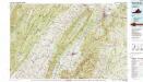
Front Royal
1 : 100000
Proposed Shenandoah National Park, Virginia / engraved and printed by the U.S. Geological Survey
1 : 125000 Annotatie geografische gegevens: Opname: 1884-1891 United States Geological Survey [Washington, D.C. : U.S. Geological Survey]
Charlottesville
1 : 250000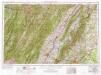
Charlottesville
1 : 250000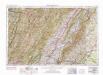
Charlottesville
1 : 250000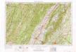
Charlottesville
1 : 250000
Charlottesville
1 : 250000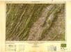
Charlottesville
1 : 250000
Map of the Shenandoah & Upper Potomac including portions of Virginia and Maryland
1 : 253440 Meigs, John Rodgers United States. Army. Office of the Chief of Engineers
Winchester, Cedar Run, Port Republic, Va.
Hotchkiss, Jed.
(Seat of the Civil War - Virginia).
1 : 412000 Schonberg & Co.
Milford, Brock's Gap, Moorefield, New Creek, etc.
Hotchkiss, Jed.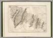
Canal de la Chesapeake a l'Ohio.
1 : 500000 Poussin, Guillaume Tell, 1794-1876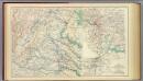
Central Virginia 1864-1865.
1 : 650000 United States. War Department
Map of the Region between Gettysburg, Pa. and Appomattox Court House, Va.
1 : 285120 Weyss, John E.
The new war map of Maryland, part of Virginia & Pennsylvania
1 : 520000 Russell, B. B. (Benjamin B.)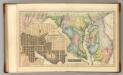
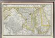
Maryland.
1 : 830000 Lucas, Fielding Jr.
Central Virginia showing Lieut Gen'l U.S. Grant's Campaign and Marches.
1 : 350000 United States. War Dept. Engineer Bureau
Maryland.
1 : 760320 Carey, Mathew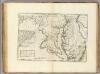
State of Maryland.
1 : 443529 Carey, Mathew
State of Maryland.
1 : 760320 Lewis, Samuel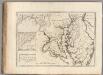
State of Maryland.
1 : 443529 Carey, Mathew
Maryland.
from Charts and maps M. (Mathew) Carey: [Philadelphia],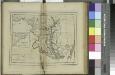
Maryland / W. Barker sculp.; Carey's American pocket atlas; containing nineteen maps... with a brief description of each state.
from Carey's American pocket atlas; containing nineteen maps... with a brief description of each state. Carey, Mathew; Sweitzer, Henry,
The states of Maryland and Delaware, from the latest surveys, 1795 / D. Martin, sculpt. N. York.
from Charts and maps D. Martin,
A New map of the province of Maryland in North America.
from Cartographic materials from the Emmet Collection of Manuscripts Etc. Relating to American History. Hinton, John,